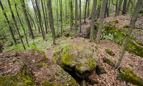
Hiking & Walking
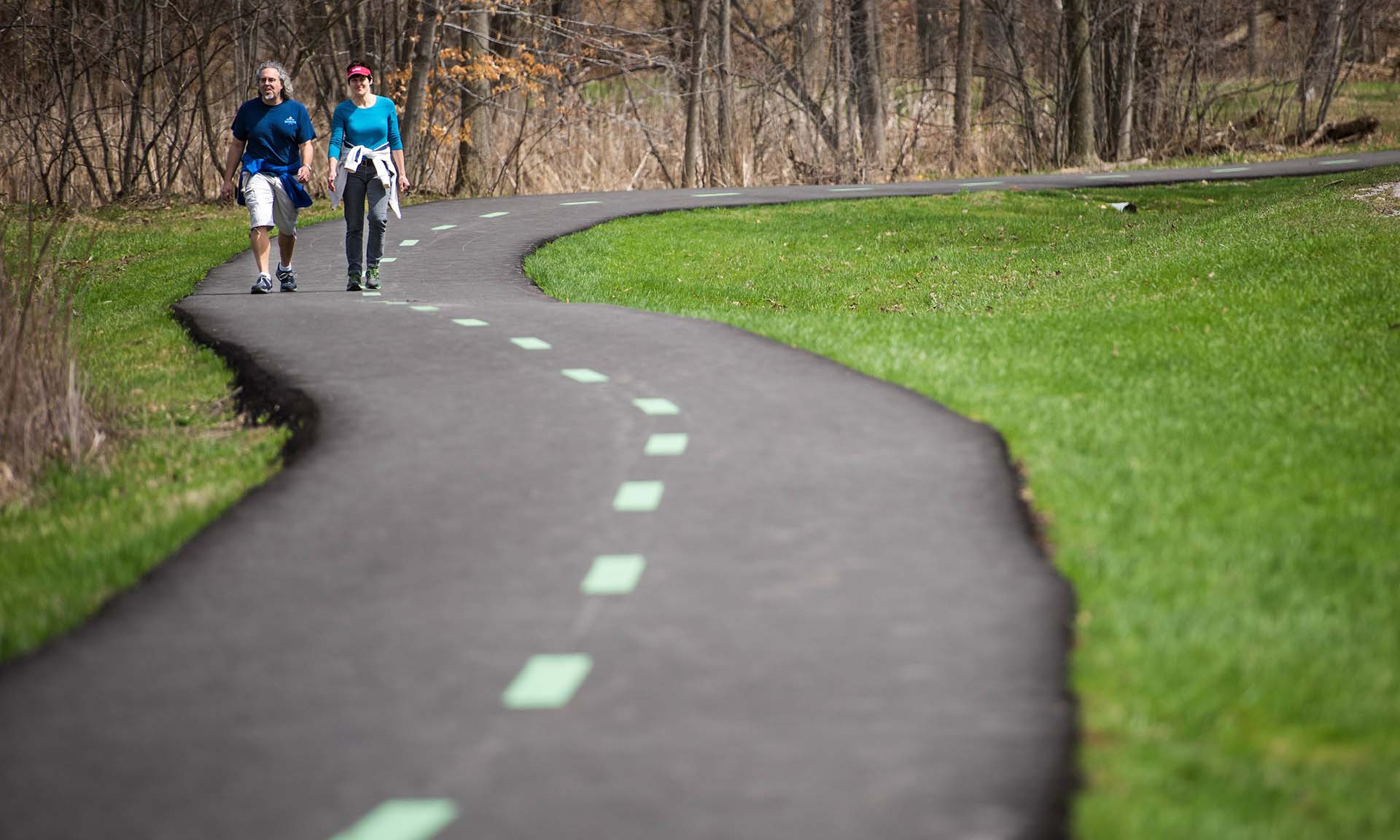
Hundreds of miles of hiking trails cross the more than 25,000 acres of Cleveland Metroparks. Trails exist in every reservation with a variety of vistas and terrains, and can be located by contacting a Cleveland Metroparks naturalist at one of the five nature centers.
Participate in the Trail Challenge presented by MetroHealth
Take a walk along one of the many hiking trails in Cleveland Metroparks to enjoy nature at your own pace. You can view the Henry Church Rock carvings in South Chagrin Reservation; enjoy the convenient loop trail to Buttermilk Falls in North Chagrin Reservation, explore Fort Hill on the trails behind Rocky River Nature Center in Rocky River Reservation; walk across historic bridges in Garfield Park Reservation; or take in the historic sites of Ohio & Erie Canal Reservation.
Download the Cleveland Metroparks App
Cleveland Metroparks trails connect regionally to the Buckeye Trail, a trail circumnavigating Ohio for 1,444 miles. The Buckeye Trail, marked with 2” x 6” baby blue blazes on trees, makes its way into Cleveland Metroparks starting in Hinckley Reservation. From there, it follows roads to get to Brecksville Reservation where it splits in three directions at Deer Lick Cave. If you follow the trail east, it will continue into Cuyahoga Valley National Park. If you follow it north, it will take you through Bedford Reservation, South Chagrin Reservation, and North Chagrin Reservation. If you continue beyond Cleveland Metroparks, it will take you to Lake Erie.
Trail Maps
- Acacia Reservation Trail Map
- Bedford Reservation Trail Map
- Big Creek Reservation Trail Map
- Bradley Woods Reservation Trail Map
- Brecksville Reservation Trail Map
- Brookside Reservation Trail Map
- Euclid Creek Reservation Trail Map
- Garfield Park Reservation Trail Map
- Hinckley Reservation Trail Map
- Huntington Reservation Trail Map
- Lakefront Reservation Trail Map
- Mill Stream Run Reservation Trail Map
- North Chagrin Reservation Trail Map
- Ohio & Erie Canal Reservation Trail Map
- Rocky River Reservation Trail Map
- South Chagrin Reservation Trail Map
- Washington Reservation Trail Map
- West Creek Reservation Trail Map
Parks
-
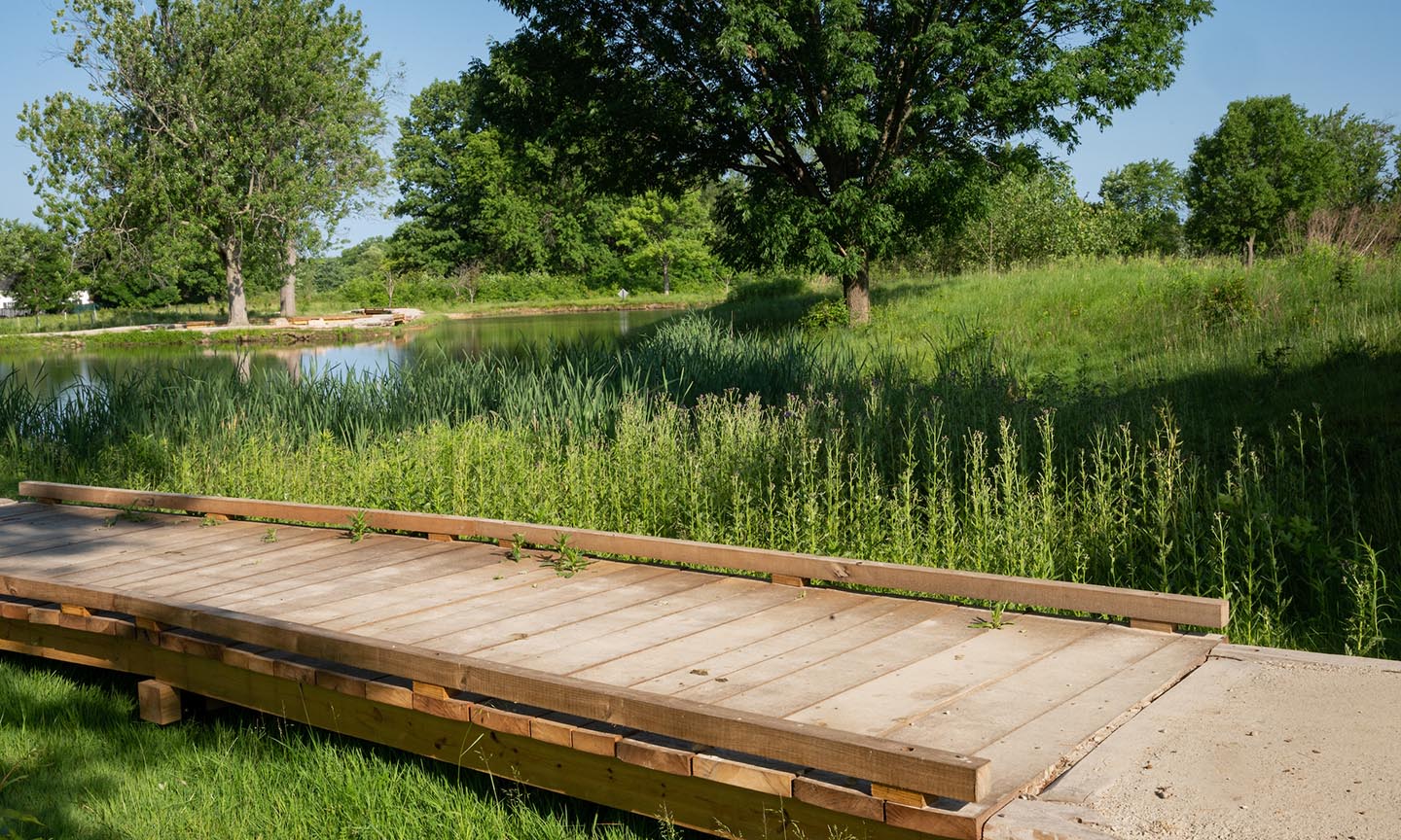
Acacia Reservation
Acacia Reservation, a 155-acre green space oasis, is located in the City of Lyndhurst. The west branch of Euclid Creek flows northwest through Acacia Reservation to join the main creek branch in Eucli... -
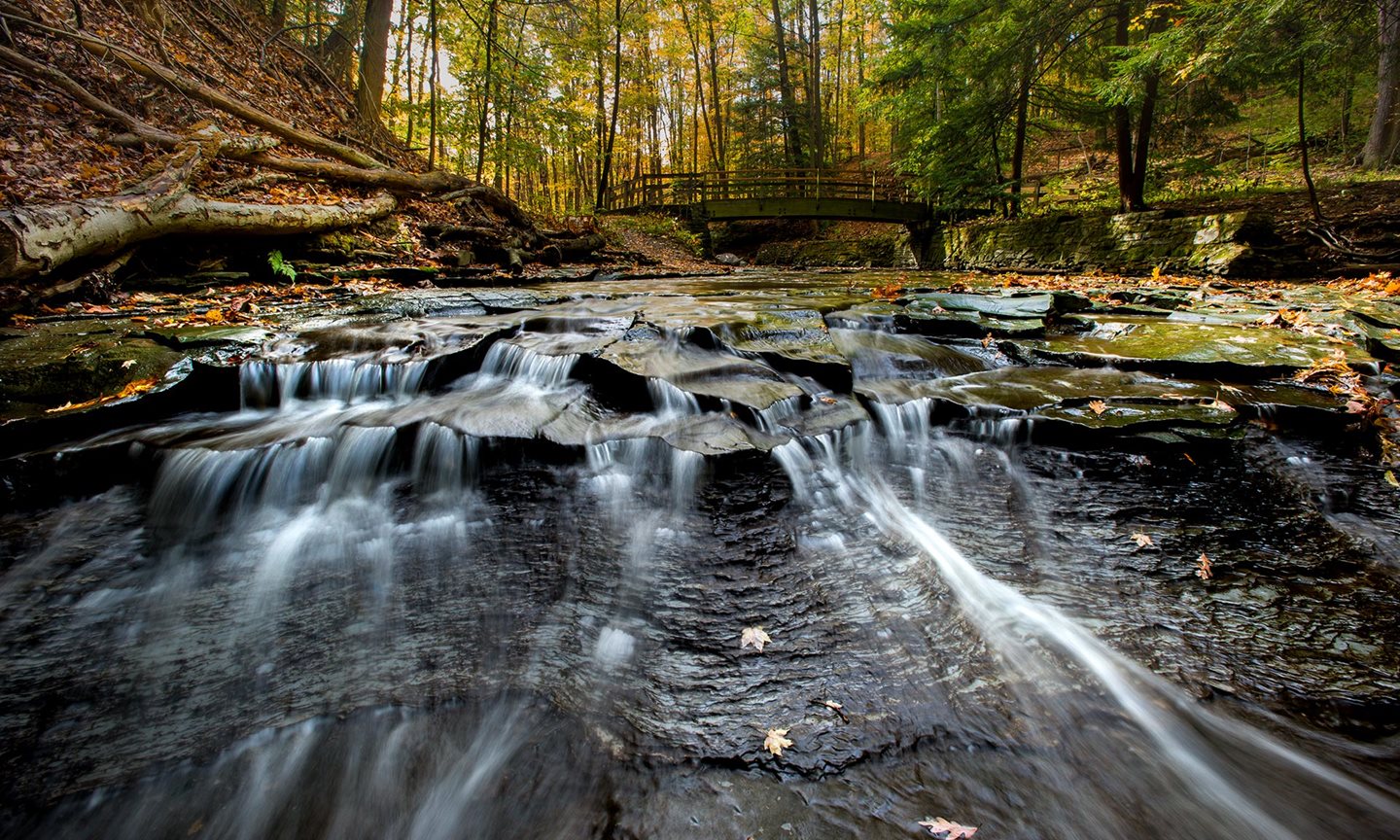
Bedford Reservation
This reservation features a deep gorge -- declared a National Natural Landmark -- carved out by Tinker’s Creek, with picturesque vistas and waterfalls. Tinker’s Creek is the largest tributary of the C... -
Big Creek Reservation
A major component of Big Creek Reservation is Big Creek Parkway, a refreshing alternative to the standard suburban commuter routes to Cleveland. The reservation runs parallel to Pearl Road from Valley... -
Bradley Woods Reservation
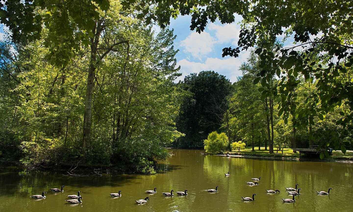
Bradley Woods Reservation, located in North Olmsted and Westlake, is on a massive formation of Berea sandstone. The stone is easily seen in the old quarry sites located in various areas of the reserva... -
Brecksville Reservation
From the oak-hickory forests on the ridge tops to the cottonwoods, willows and sycamores of Chippewa Creek's flat floodplain, Brecksville Reservation is a study of contrasts. The reservation is deeply... -
Brookside Reservation
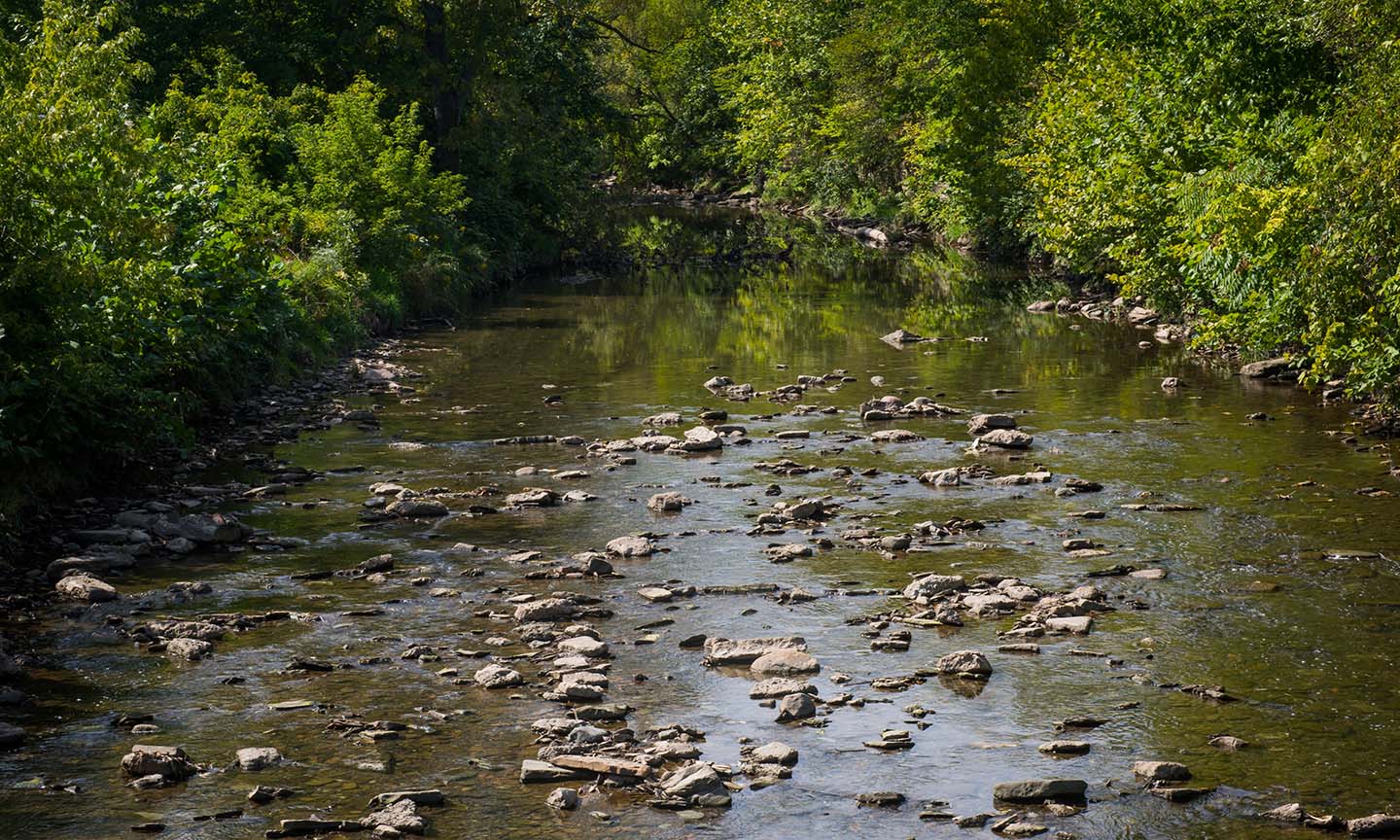
Brookside Reservation was one of the City of Cleveland's oldest neighborhood parks before its acquisition by Cleveland Metroparks in 1993. The land was purchased in 1894 and has been a center for recr... -
Euclid Creek Reservation
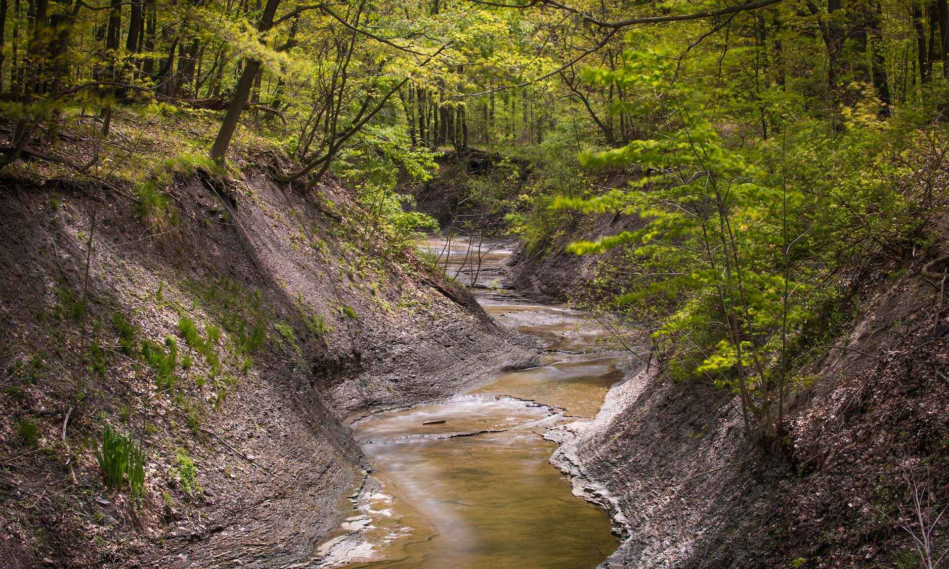
Follow Euclid Creek Valley along 2.5 miles of interesting geology along this verdant corridor, from Quarry Picnic Area to Highland Picnic Area. Historic points of interest include former Bluestone qua... -
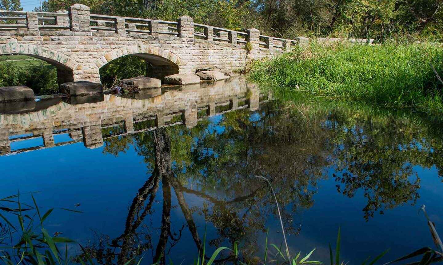
Garfield Park Reservation
Located in Garfield Heights, Garfield Park Reservation has become a treasured urban oasis that has withstood the test of time. The park features a surprising array of wildlife diversity and recreatio... -
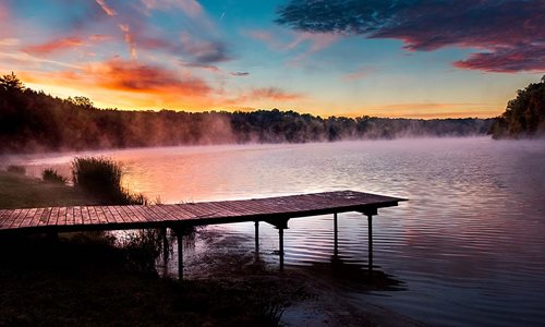
Hinckley Reservation
At the southern end of Cleveland Metroparks is Hinckley Reservation, the site of the nationally-known annual Return of the Buzzards. From hiking at Whipp's Ledges to kayaking on Hinckley Lake, there a... -
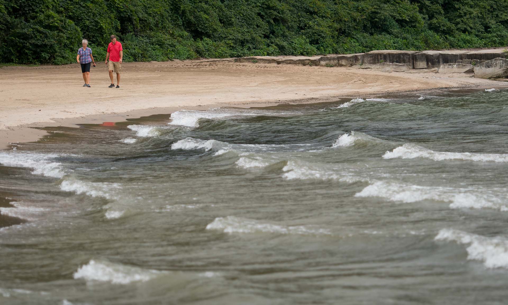
Huntington Reservation
Huntington Reservation is located in Bay Village on the shores of Lake Erie. Picnic areas high above the beach offer visitors opportunities to enjoy the striking and ever-changing lake views. The rese... -
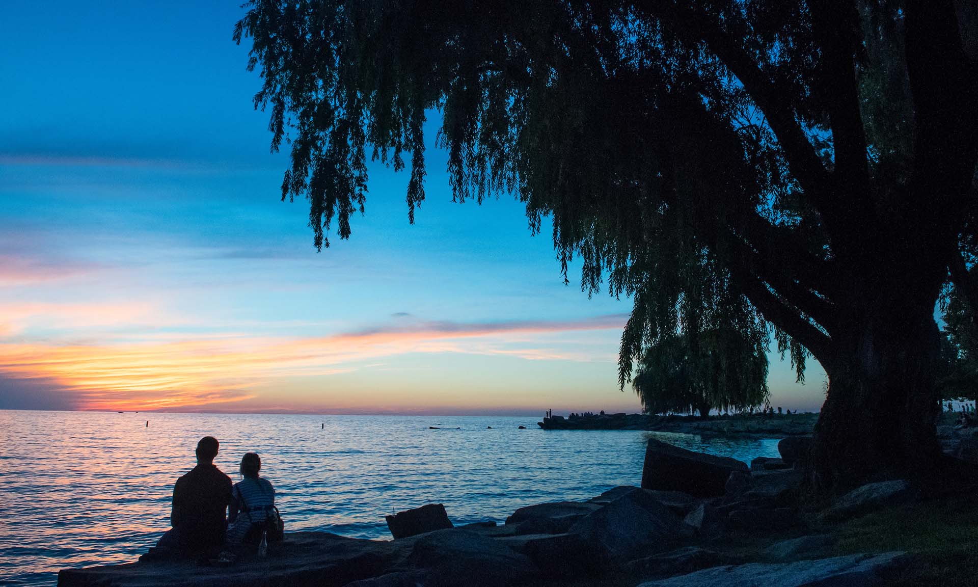
Lakefront Reservation
Experience Lake Erie in all its glory. Go fishing, witness the great seasonal bird migrations, have a picnic, try stand up paddle board, or take a bike ride along the lake shore. -
Mill Stream Run Reservation
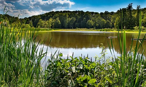
Mill Stream Run Reservation is located in Berea, Middleburg Heights, North Royalton and Strongsville. Long ago nineteenth century communities like Albion, Sanderson's Corners and Slab Hollow sprang up... -
North Chagrin Reservation
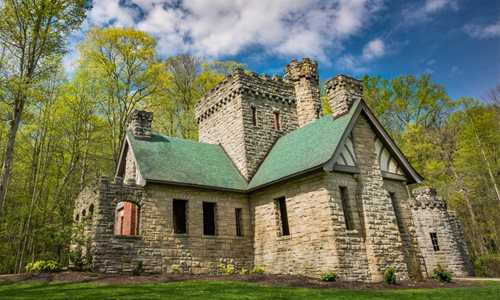
Since the 1920s, North Chagrin Reservation has been a special combination of outdoor recreation areas and wildlife sanctuaries. North Chagrin trails and picnic areas feature woodlands and wetlands as... -
Ohio & Erie Canal Reservation
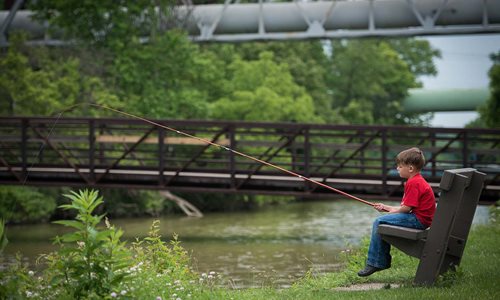
The Ohio & Erie Canal Reservation follows a portion of its namesake, the historic 309 mile Ohio & Erie Canal. Hike, bike, or walk along 7.2 miles of All-Purpose Towpath Trail. Stop by CanalWay Center... -
Rocky River Reservation
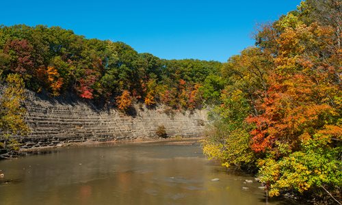
Rocky River Reservation is located in Berea, Brook Park, Cleveland, Fairview Park, Lakewood, North Olmsted, Olmsted Township, and Rocky River. The first land purchased for Cleveland Metroparks – a 3.8... -
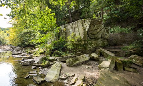
South Chagrin Reservation
Rugged trails lead you through hemlock forests, sandstone ledges, coldwater creeks and ravines. The Chagrin River, designated as a Scenic River, borders the eastern edge of the reservation. Sites rich... -
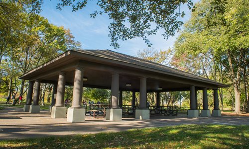
Washington Reservation
Located in Newburgh Heights the 59-acre Washington Reservation is Cleveland Metroparks 15th reservation. Golf enthusiasts will enjoy an Audubon Certified nine-hole golf course, a First Tee of Clevelan... -

West Creek Reservation
While neighborhoods surrounding most of the nine-mile West Creek are densely developed, this nearly 600-acre reservation preserves a valley of rocky gorges, forest-draped hillsides, floodplains and ba...
Attractions
-
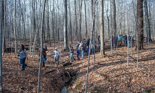
A.B. Williams Memorial Woods
Wander through a dense maze of giant trees in this stunning example of an old growth beech-maple forest. A.B. Williams, Cleveland Metroparks first naturalist, embraced these woods as he conducted his... -
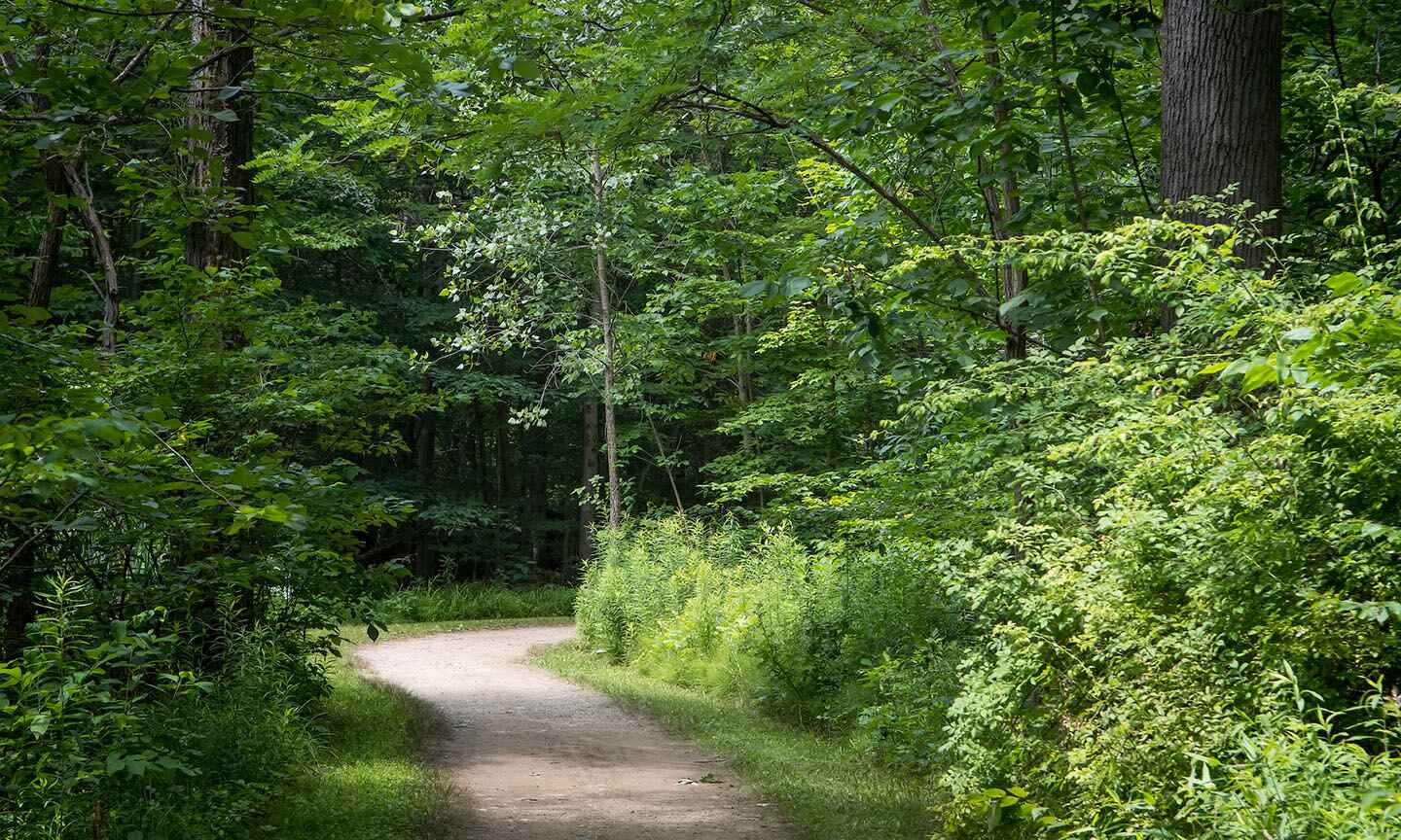
A.B. Williams Memorial Woods Trailhead
This starting point leads to a variety of wooded trails and scenic views in one of the most famous tracts of forest in Cleveland Metroparks. -

Acacia Reservation Trailhead
This starting point allows for easy access to the numerous paved paths of Acacia Reservation. -
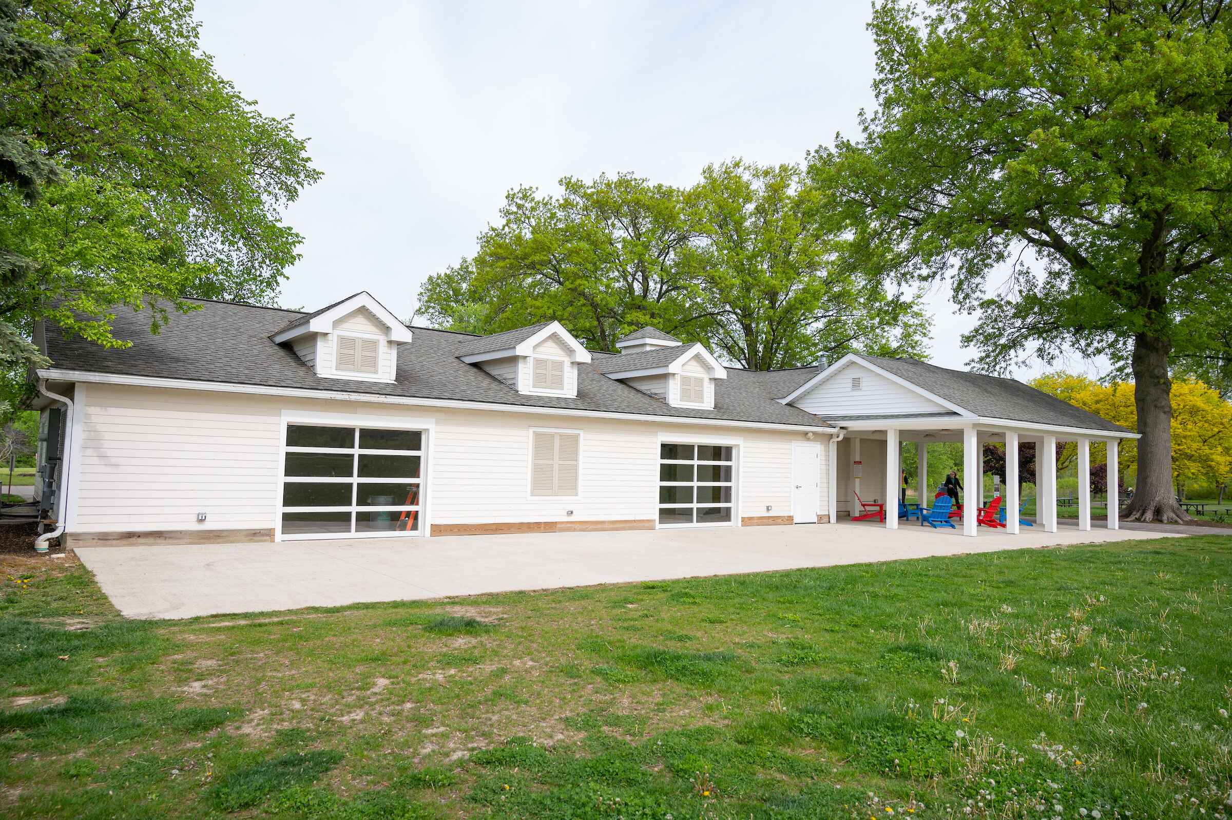
Acacia Shelter
Acacia Shelter is located off Cedar Road between Richmond Rd and I-271. This enclosed shelter features both heating and air conditioning with electricity, picnic tables and chairs. Flush restrooms att... -
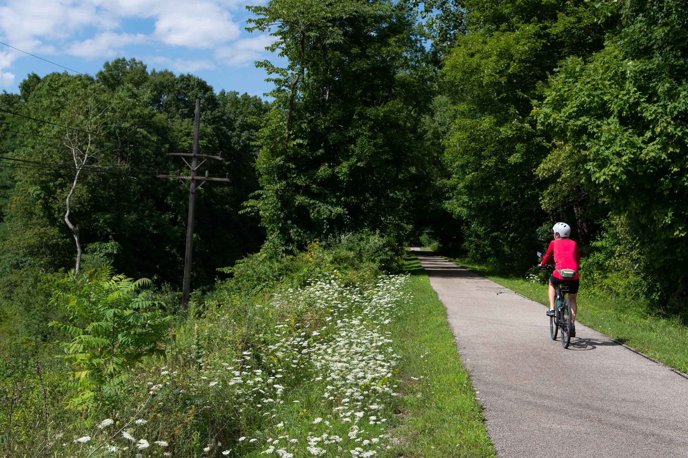
Alexander Road Trailhead at Sagamore Creek
Sagamore Creek Loop is a hidden gem among steep forested slopes, where one can view several small waterfalls and deep ravines. The loop trail also intersects with the Buckeye Trail and Summit Metropar... -
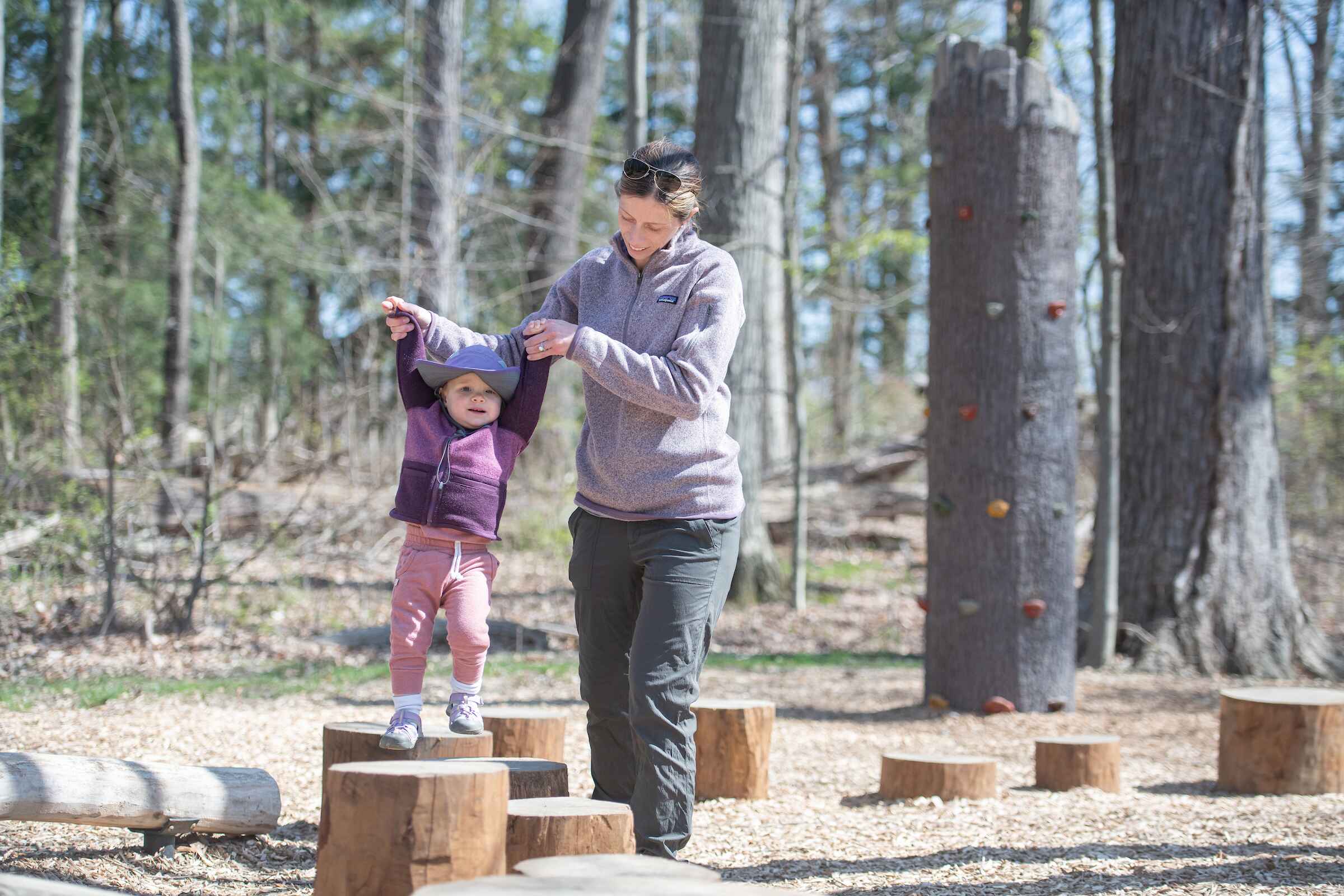
Andrews Nature Play Area
Enjoy balance and climbing structures, slides, tunnels and swings. The Andrews Nature Play Area was completed and constructed by Cleveland Metroparks staff and built by reusing materials from the Park... -
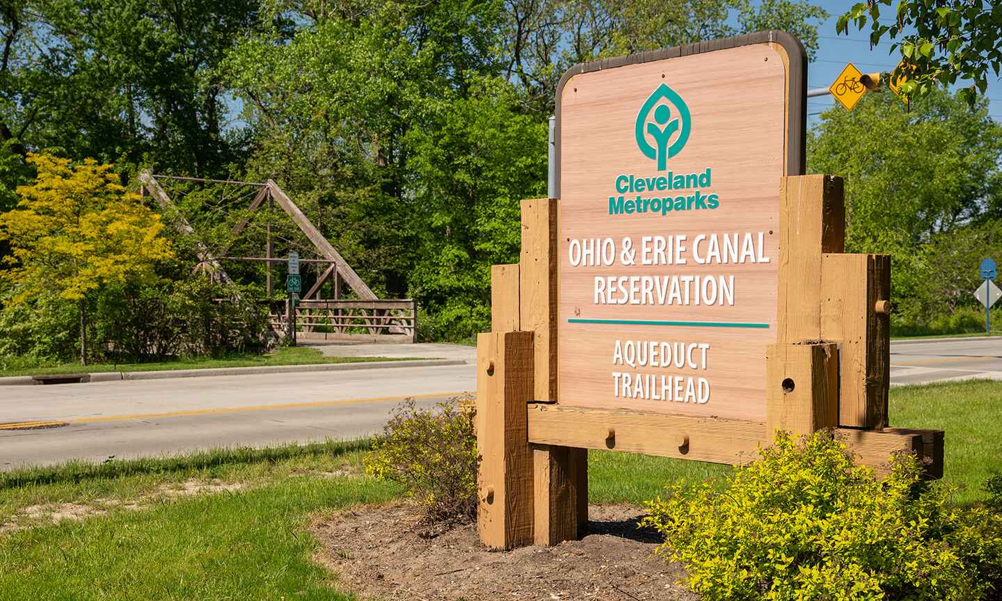
Aqueduct Gateway Trailhead
From this location, cross Canal Road over to the Ohio & Erie Canal to inspect the Aqueduct along the Towpath Trail or take the trail around the ballfields to the Mill Creek Falls Connector Trail. -
Arbor Picnic Area Trailhead
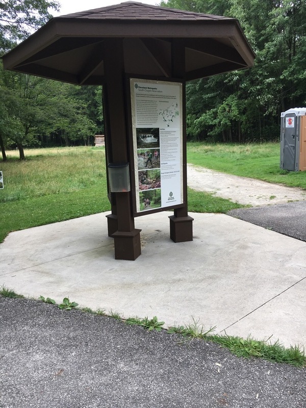
A wide-open, grassy area of South Chagrin Reservation with lots of sun and space for a picnic. -
Astorhurst Park
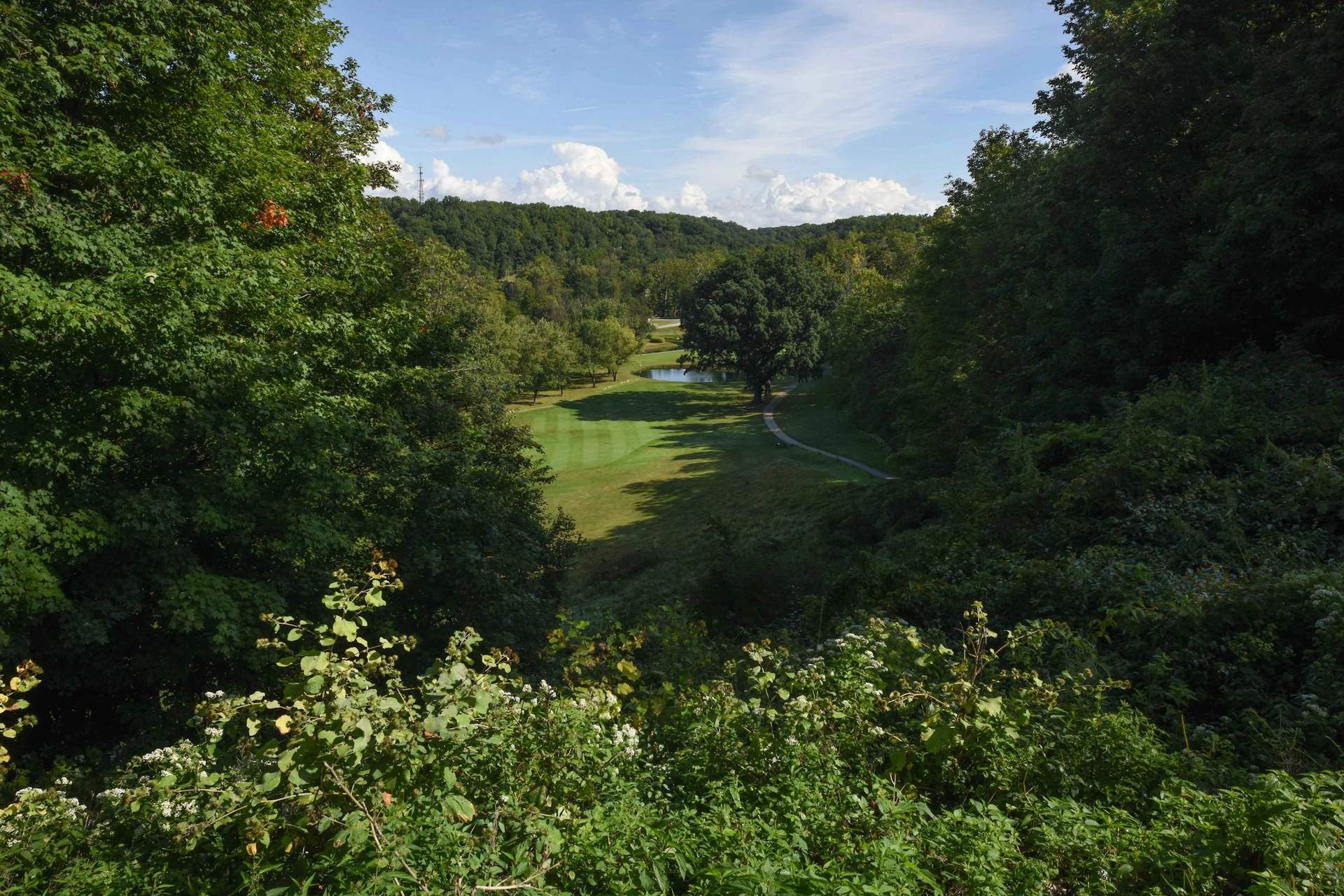
The former location of the Astorhurst Golf Course, this site is an excellent place to begin a hike through the beautiful Bedford Reservation. -
Aukerman Park Trailhead
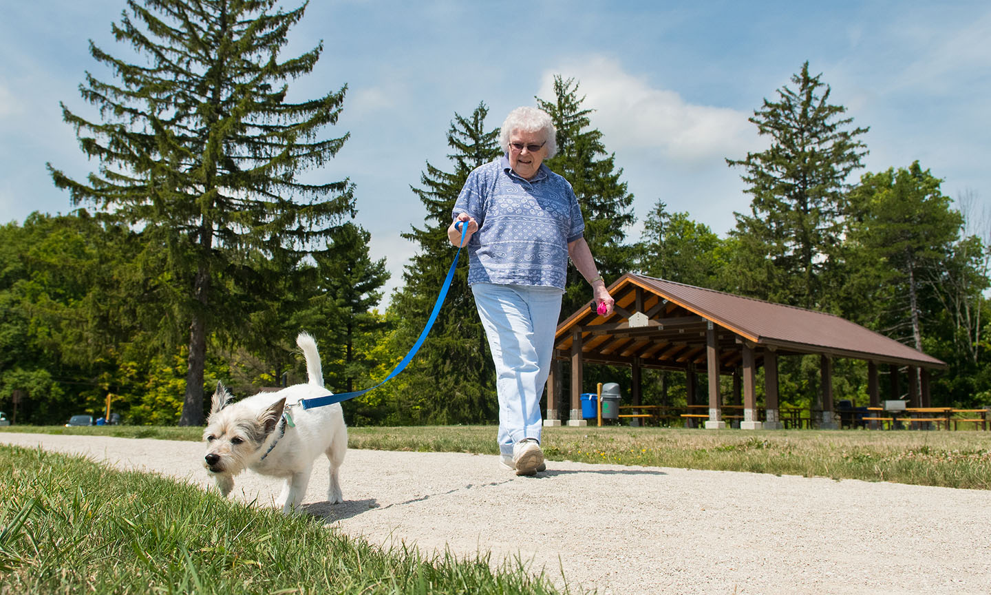
Enjoy this dog agility course with your leashed dog. -
Berea Falls Scenic Overlook
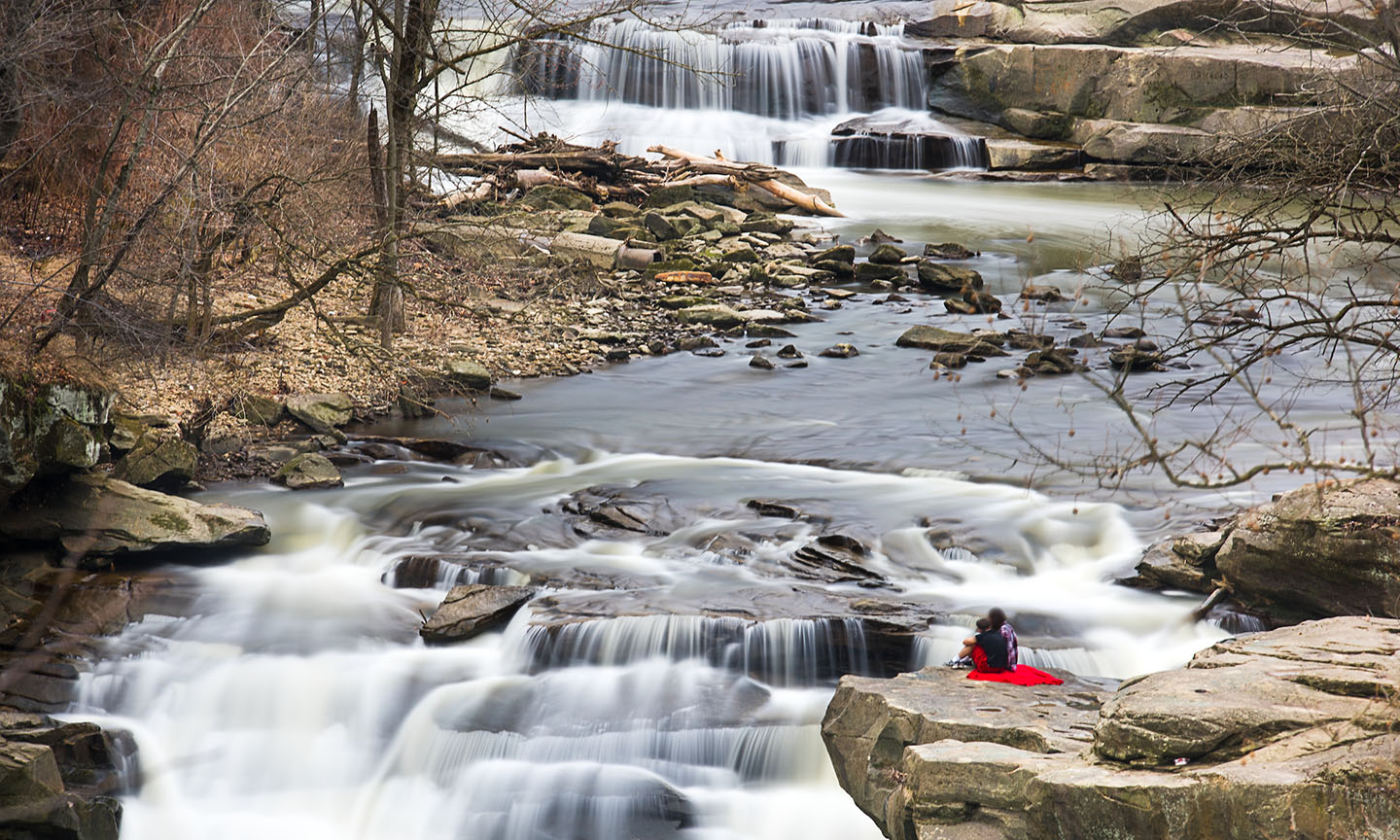
The raging waters of Rocky River that formed the Berea Falls are a piece of glacial history. Post-glacial river water found its way along the Berea sandstone, seeping through fissures and cracks to th... -

Berea Falls Trailhead
A small parking lot provides access to the waterfall, and a great staging area for cyclists. -
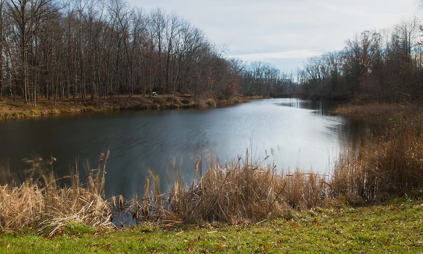
Beyer's Pond
Beyer’s Pond is a small, secluded lake tucked away in the far reaches of Big Creek Reservation. A short, 0.7 mile hiking loop leads back to the lake, passing by wetlands and overlooking the floodplain... -
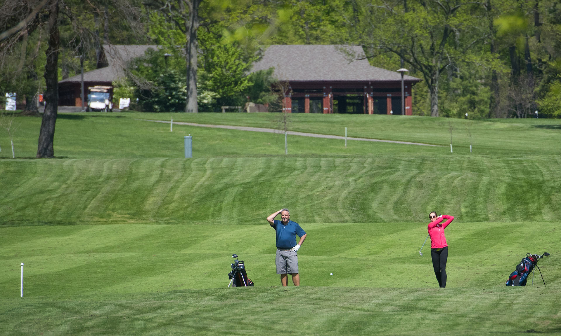
Big Met Trailhead
Park at Big Met Golf Course, hike the All Purpose Trail, and return for a snack at the Big Met Grille. -
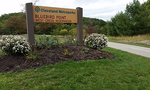
Bluebird Point Overlook
Situated on the All Purpose Trail just south of the Watershed Stewardship Center, Bluebird Point Overlook provides excellent opportunities to view wildlife on this former landfill. A restored meadow d... -

Bluebird Point Trailhead
Bluebird Point is a trailhead parking lot that offers tremendous bird watching opportunities and direct access to the All Purpose Trail. Not far from this point of departure is the Watershed Stewardsh... -
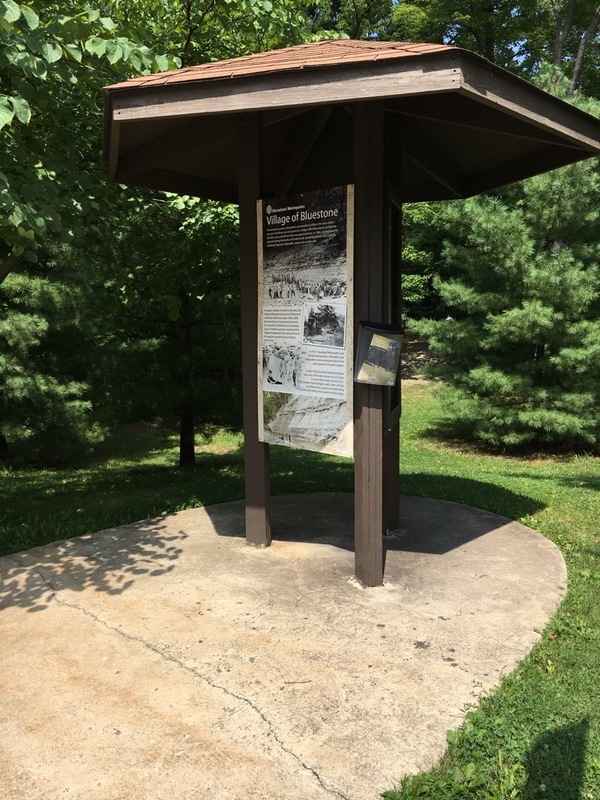
Bluestone Trailhead
This gateway for local access is at the bottom of the All Purpose Trail connector trail leading from South Green Rd. No parking available. -
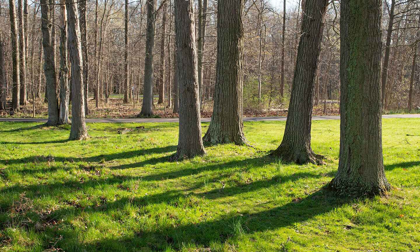
Bonnie Park Trailhead
Provides access to river and to All-purpose trail. -
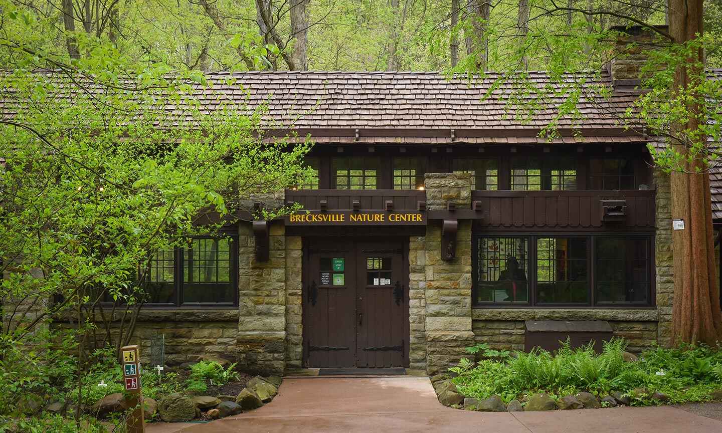
Brecksville Nature Center Trailhead
Access to several different trails. Brecksville Nature Center is a National Historical Site, built in 1939. -
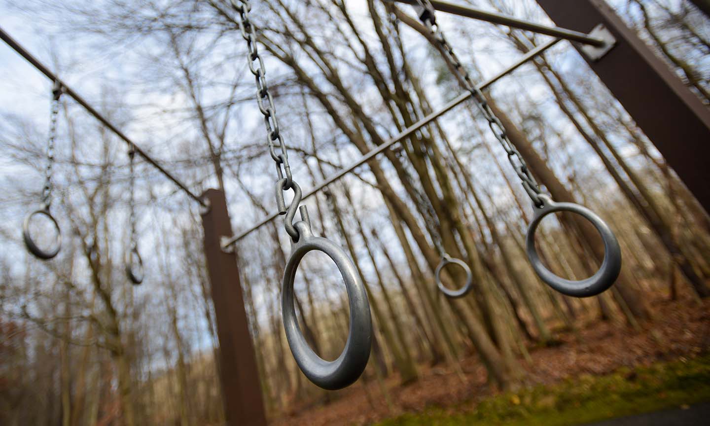
Brecksville Physical Fitness Trail
The physical fitness trail consists of 18 exercise stations. Each station provides a different type of exercise. Located near Chippewa Ford Field, along Chippewa Creek Drive, west of Riverview Road in... -
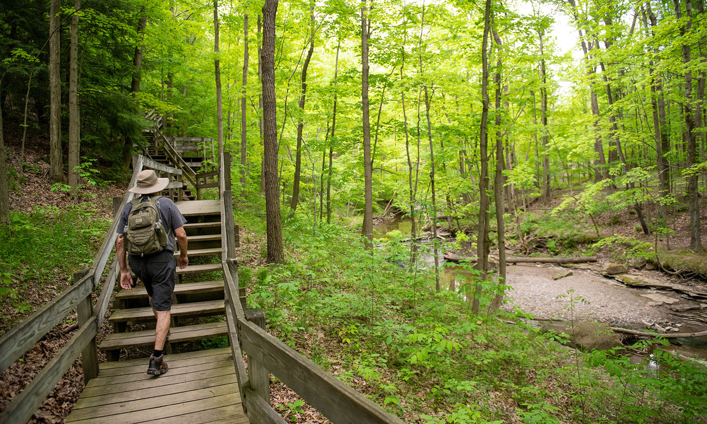
Bridal Veil Falls Trailhead
Composed of 10 distinct sections connected by stretches of All Purpose Trail, the Bedford Singletrack is a reservation-wide loop. Be cautious of other users and always stop for horseback riders. The t... -
Brighton Park
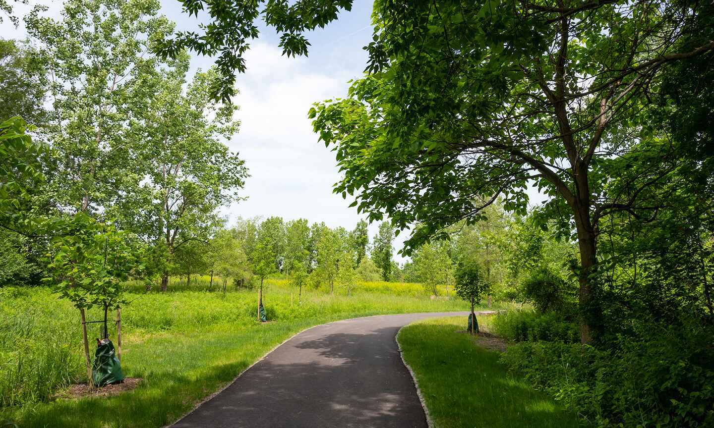
The 25-acre Brighton Park sits on the restored former Henninger Landfill property. It provides a critical connection between the Ohio & Erie Canal Towpath Trail, the Cleveland Metroparks Zoo, and... -
Broadway Trailhead
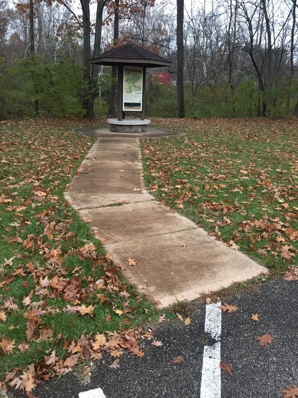
Access to the All Purpose Trail and Buckeye Trail. -
Brooklyn Exchange Cabin
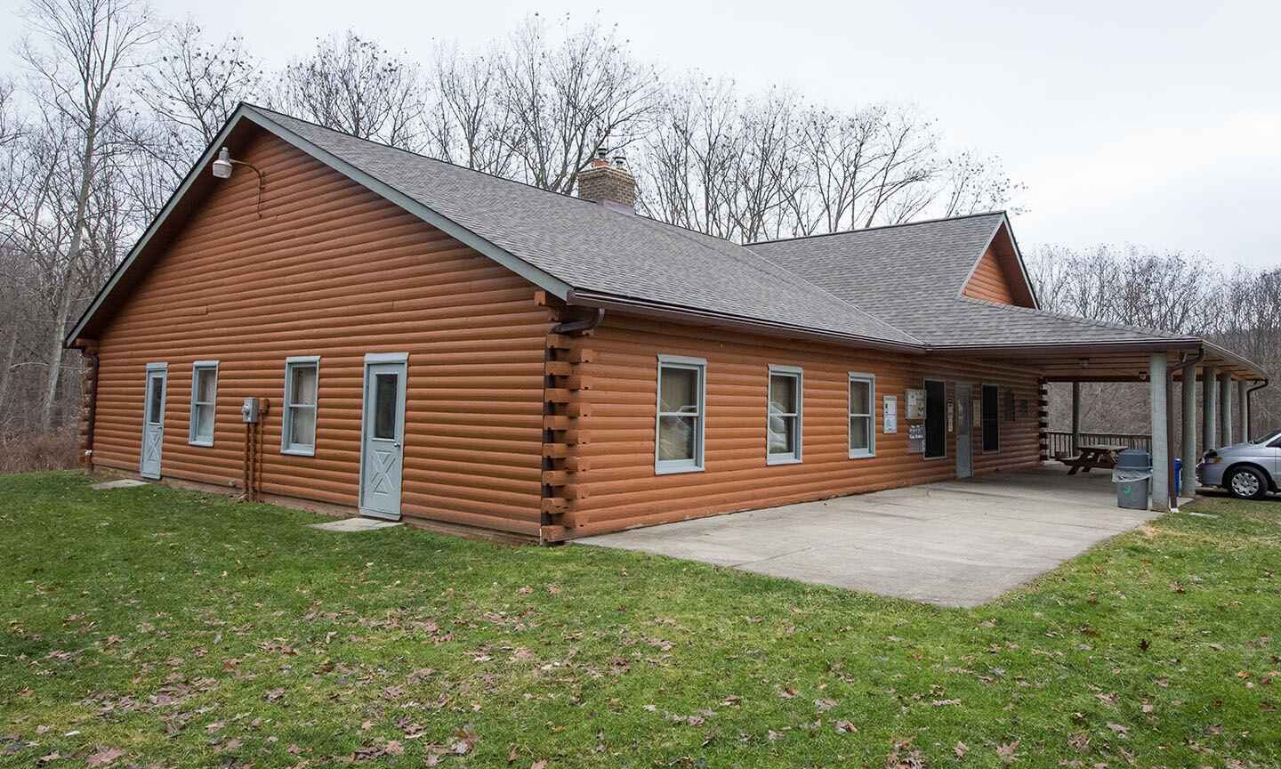
The Brooklyn Exchange Club is a national service organization dedicated to serving the community and developing leadership skills. They maintain the Brooklyn Exchange Cabin, which was built in 1941, i... -

Brookside Overlook
This overlook provides a sweeping view of the Jim Thome All-Star Complex at Brookside Reservation. Nestled in this urbanized section of the Old Brooklyn neighborhood of Cleveland, this reservation con... -
Brookside Reservation Trailhead
Access the All Purpose Trail at Brookside Reservation located along John Nagy Blvd. off Ridge Road in Cleveland. -
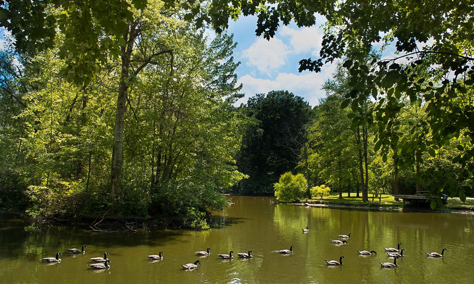
Bunns Lake
Bunns Lake, dedicated in 1986, was created to provide waterfowl habitat, and serve as a pleasant spot for nature lovers. -

Bunns Lake Trailhead
The perfect starting place for hiking the trails at Bradley Woods. -
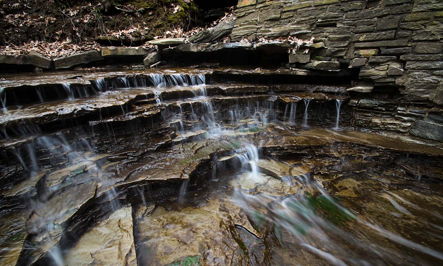
Buttermilk Falls Scenic Overlook
The wooded deck provides visitors a unique view of the geology of North Chagrin Reservation. Buttermilk Falls Creek cascades down from Cleveland Shale to Chagrin Shale, both members of the Ohio Shale... -

Buttermilk Falls Trailhead
This a great destination with ample parking to pick up a hike on Hickory Fox Loop, Buttermilk Falls and All Purpose Trails or the nearby Hemlock Trail. The Buttermilk Falls Scenic Overlook is sh... -
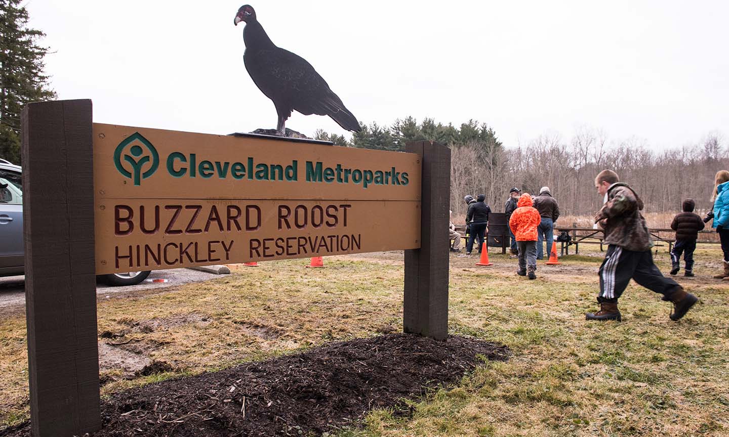
Buzzard Roost
Located at the intersection of State Road and West Drive is the infamous Buzzard Roost. Every March 15, dating back to 1957, the buzzards are welcomed back to Hinckley Reservation by the Cleveland Met... -
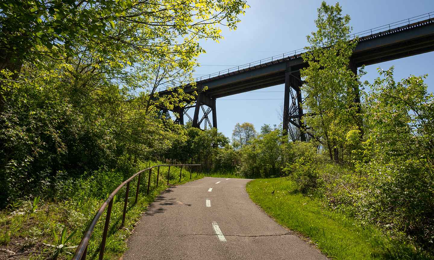
CanalWay Center Trailhead
Begin your journey outside CanalWay Center and follow the trail downhill into the scenic Cuyahoga River Valley. Pause at the Blue Heron Boardwalk to search for signs of beaver activity before continui... -
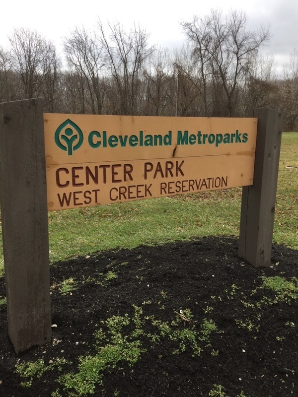
Center Park Trailhead
Access wooded trails at West Creek Reservation from Center Drive. This area has limited parking and picnic areas. -
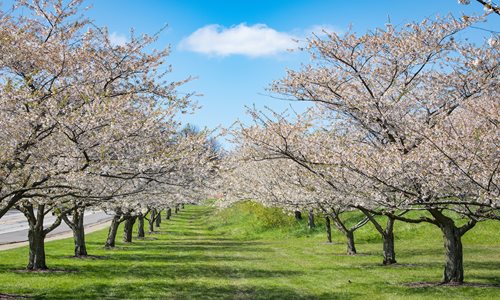
Cherry Grove Picnic Area
Part of Cleveland's Old Brooklyn neighborhood, the Cherry Grove Picnic Area is located along the south side of John Nagy Blvd. in Brookside Reservation, just off Ridge Road. -
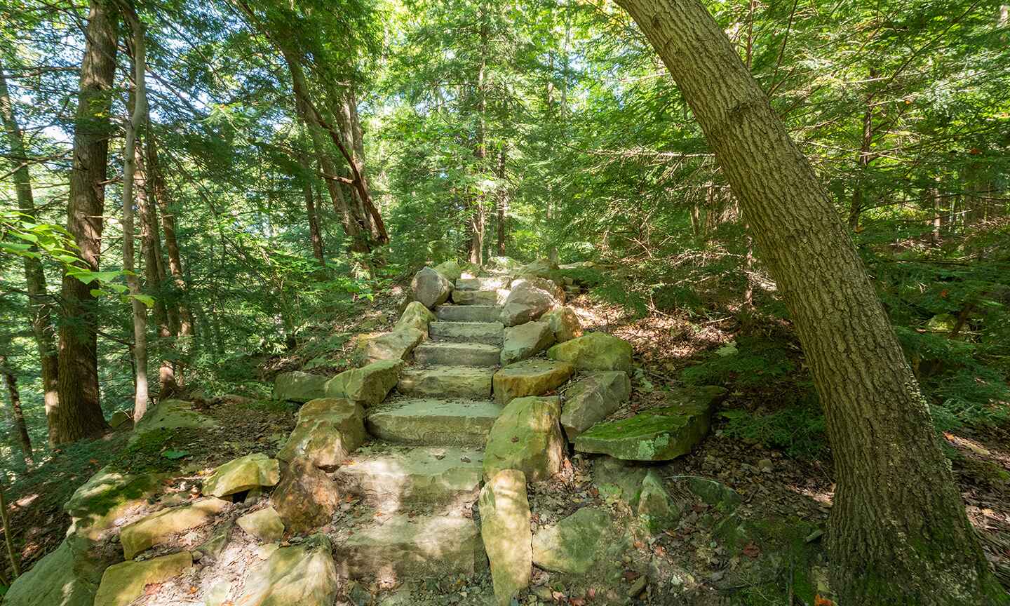
Chippewa Creek Gorge
Enjoy the natural surface trail with access down into the scenic Chippewa Creek Gorge. -
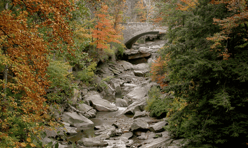
Chippewa Creek Gorge Scenic Overlook
Chippewa Creek Gorge holds the earth’s history in its rocks. Chippewa Creek, in the northern section of Brecksville Reservation, flows through a remarkable gorge that was left behind by the glaciers t... -

Chippewa Creek Gorge Trailhead
Take in the view of the Chippewa Creek gorge. Access the Hemlock and All Purpose trails. -
Chippewa Field Trailhead
Access to the Fitness, All Purpose and Bridle trails. -
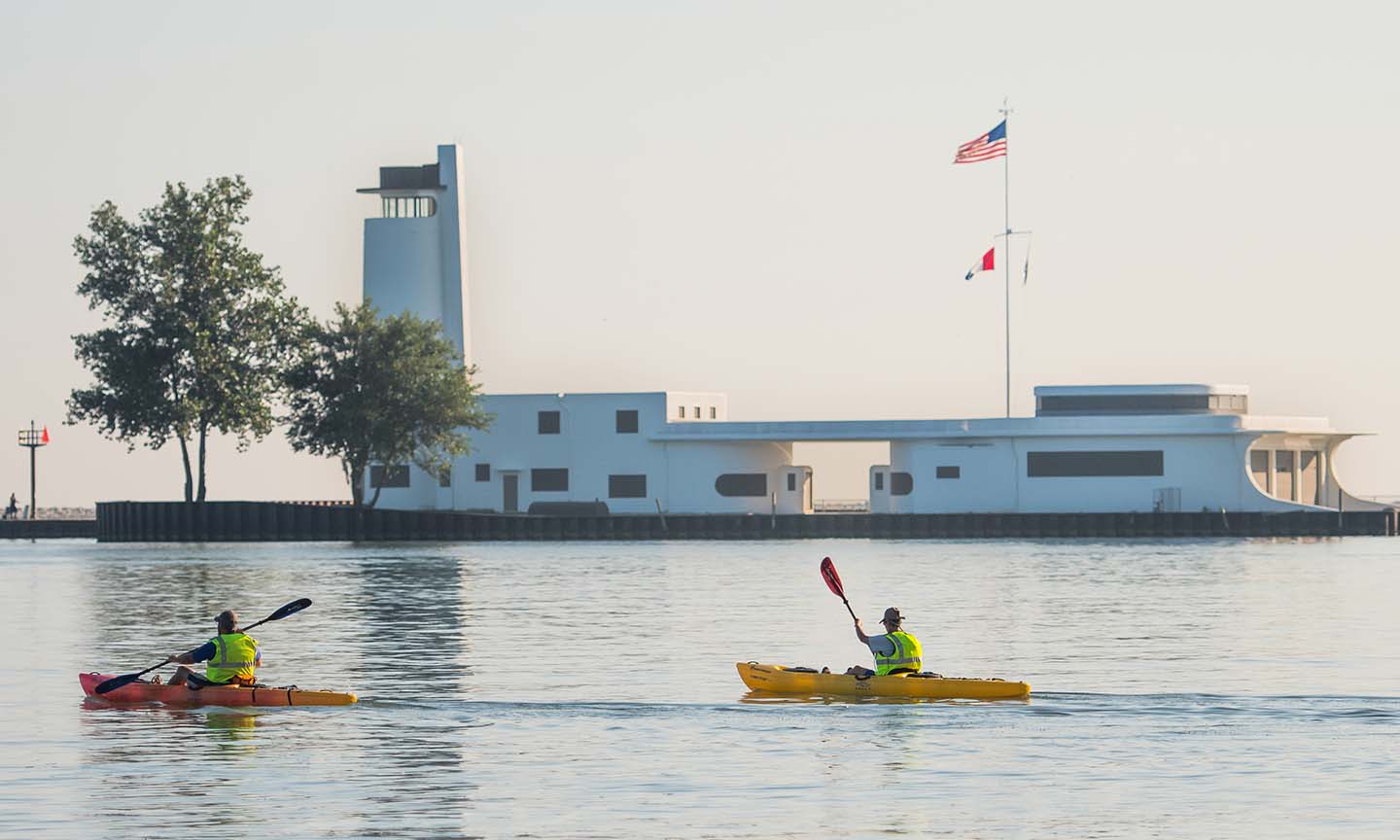
Coast Guard Station
This historic location provides amazing views of Cleveland. Click here to learn about the project to restore the West Pier that connects Wendy Park in the Lakefront Reservation to the Historic U.S. Co... -
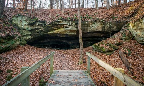
Deer Lick Cave
Millions of years ago an ocean covered what is now Ohio. Salt from this ocean was trapped in the sands along the ocean’s shores. The salt became embedded in the sandstone that formed from these ancien... -
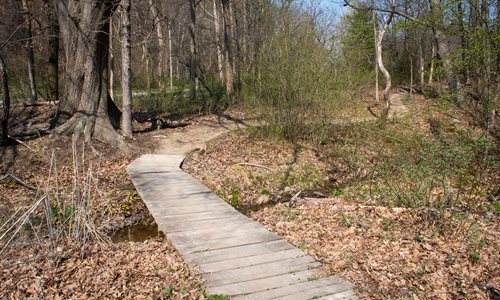
Dunham Trailhead
Explore the one direction Bedford Singletrack trail with 10 distinct sections and connections to the all purpose trail. -
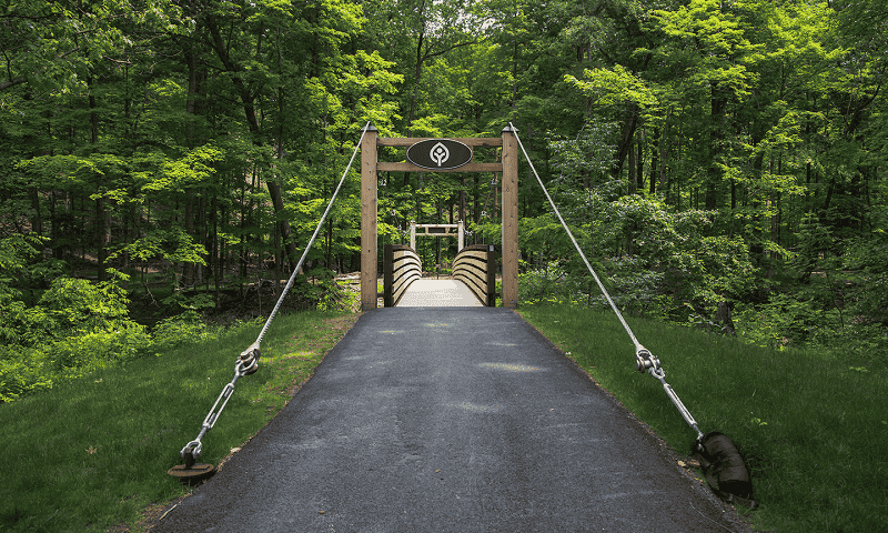
Eastern Ledge Trail
The mile-long Eastern Ledge Trail features a mix of paved and natural surface trails, a suspension bridge over Euclid Creek, and access to one of the Emerald Necklace’s most scenic vistas at an overlo... -
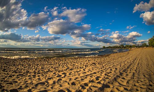
Edgewater Beach
Edgewater Beach, located in lower Edgewater Park, has something for everyone. Enjoy a walk along the scenic shoreline, have a picnic, or join a game of beach volleyball. Stroll along the beach while e... -
Closed for the season
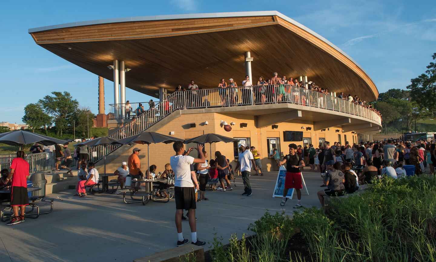
Edgewater Beach House
The Edgewater Beach House brings an enhanced beach-vibe through made-to-order beachside fare and treats and a seasonal outdoor bar with the best view in town. -
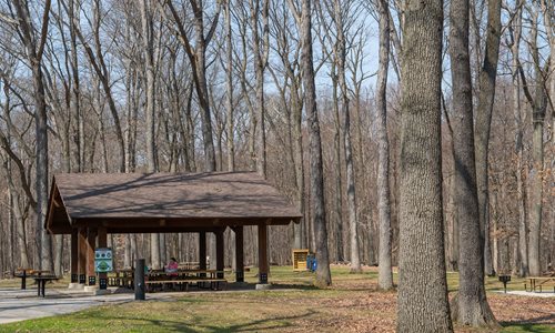
Egbert Picnic Area
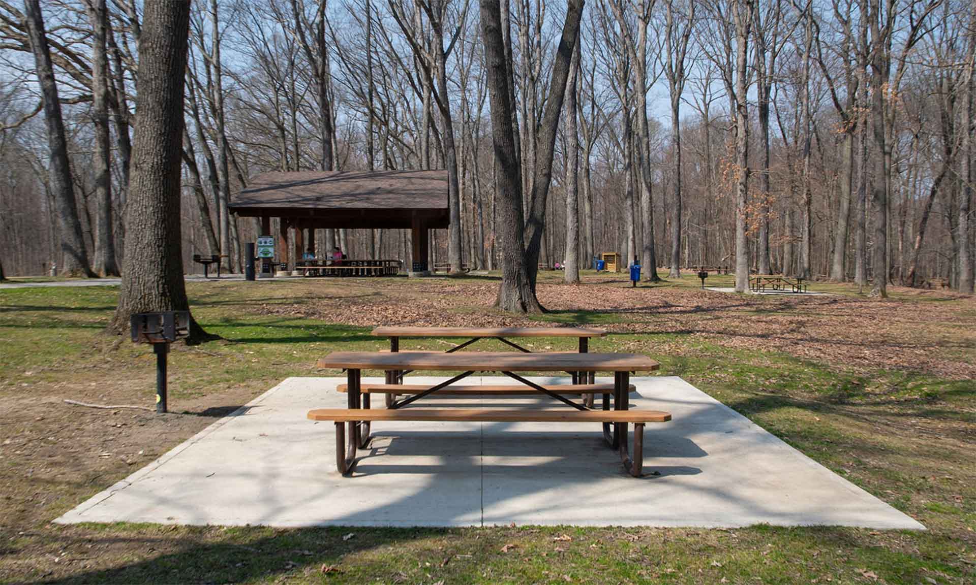
Egbert Picnic Area is located off of Gorge Parkway near the Egbert Road entrance in Walton Hills. This area includes a picnic shelter, swing set, hiking trails, mountain bike trails and a physical fit... -
Egbert Picnic Area Trailhead
Connections to mountain bike and bridle trails that provide excellent views of the Tinker's Creek Gorge and surrounding forest. -

Egbert Trailhead
Explore the one direction Bedford Singletrack trail with 10 distinct sections and connections to the all purpose trail. -
Engle Road Connector
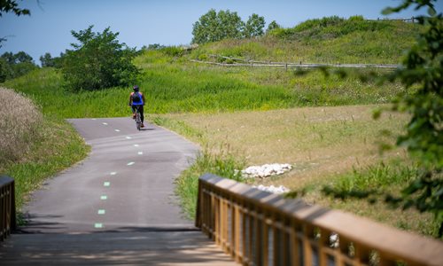
This all purpose trail improves access to the Lake-to-Lake Trail and connects the sledding recreation area and Engle Road. -
Euclid Creek Physical Fitness Trail
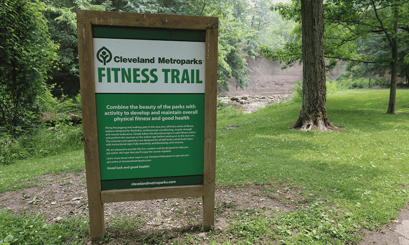
Enjoy 14 outdoor fitness stations along the paved path as you travel from Highland Picnic Area to Welsh Woods Picnic Area and back. -
Forbes Woods Trailhead
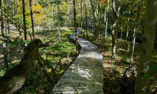
Former farmland that provides access to the Forbes Woods Crossing a short section of All Purpose Trail. -
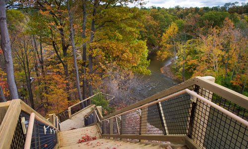
Fort Hill
This iconic landmark is one of the most picturesque locations in the Emerald Necklace. The Fort Hill Stairs ascend to stunning views 90 feet above the east and west branches of the Rocky River. After... -
Fowles Marsh
Once part of an extensive wetland network that included nearby Lake Abram and Lake Isaac, Fowles Marsh was historically drained for onion and celery farming. Today, it has been restored to a large ope... -
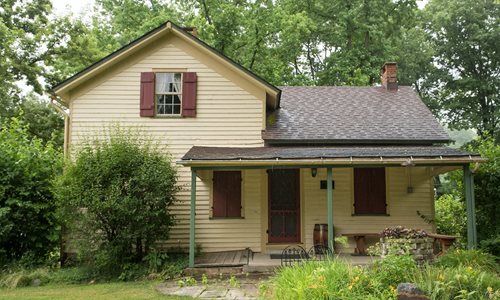
Frostville Museum
Frostville Museum is a living history of 19th century Ohio. It is located at 24101 Cedar Point Road, North Olmsted, OH 44070 at the corner of Cedar Point and Lewis Roads in Cleveland Metroparks in Roc... -
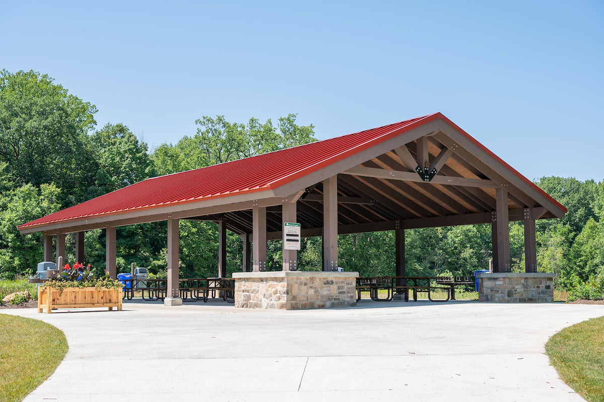
Garfield Park Physical Fitness Trail
The Garfield Park Physical Fitness Trail follows the All Purpose Trail, a 2-mile loop around the perimeter of Garfield Park. -
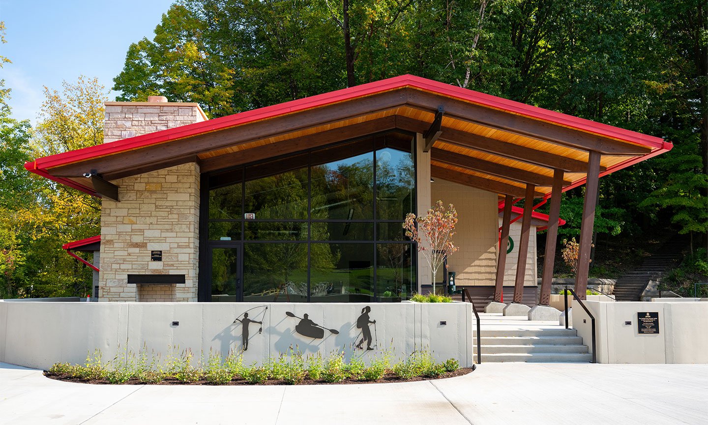
Garfield Park Program Center
The new Garfield Park Program Center serves as an education and recreation hub for Cleveland Metroparks Outdoor Recreation and Youth Outdoors programs. Other nearby features include the restoration of... -
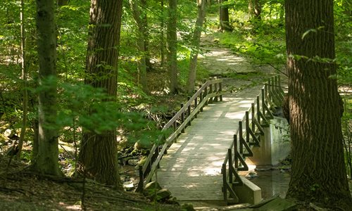
Garfield Park Trailhead
From this location, explore the interior of Garfield Park Reservation via the Redbud Loop, Wolf Creek and Iron Springs Trails, which wind around the restored Garfield Park Pond. The All-Purpose, North... -
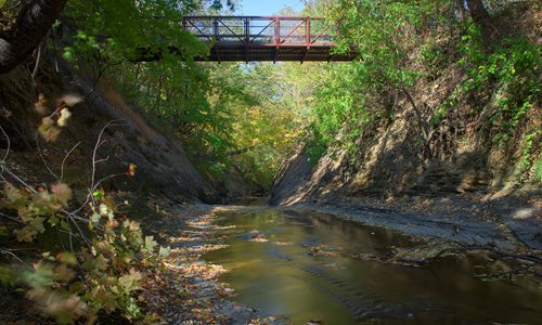
Grassroots Gorge Overlook
The Grassroots Gorge Overlook is located at a terminus of the All Purpose Trail and offers scenic views of the West Creek. Different seasons provide spectacular vantages while rain events provide a tr... -
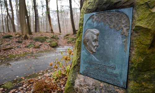
Harriet Keeler Memorial
Harriet Keeler influenced the lives of many as a teacher and author. After earning her college degree, she worked for Cleveland Public Schools as a teacher, principal and superintendent. As a teacher,... -
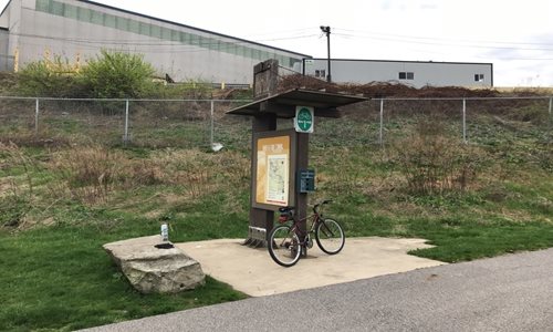
Harvard Gateway Trailhead
This trailhead is a terrific example of the Industrial Valley meeting natural beauty. Look for the Bald Eagle nest along the Cuyahoga River... -
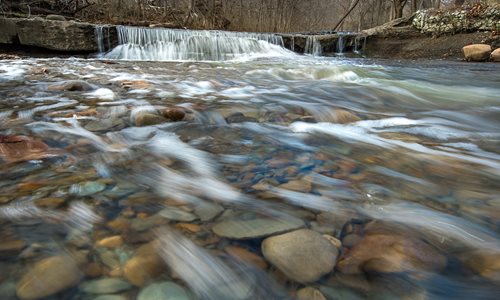
Hemlock Creek Picnic Area
Hemlock Creek Picnic Area is located off Button Road in Bedford Reservation, just east of Dunham Road in Walton Hills. This area includes a picnic shelter, hiking and bridle trails, a swing set and of... -

Hemlock Creek Picnic Area Trailhead
A top-rated trail for spring wildflowers and scenic views of Tinker's Creek. -
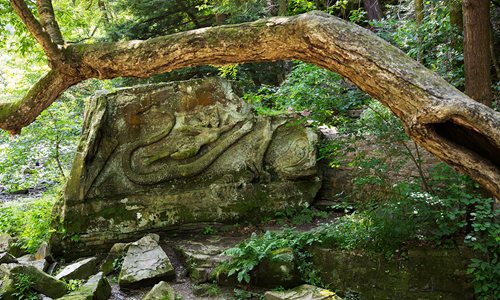
Henry Church, Jr., Rock
This long-term ephemeral landmark is a piece of cultural history immersed in nature by the riverside. Blacksmith, spiritualist, and artist Henry Church carved the images in the rock, dating the... -
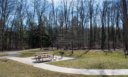
Henry Church, Jr., Rock Picnic Area
Located east of Route 91 on Hawthorn Parkway this area is a great place for a picnic or to meet for a hike. There are several trails to choose from in this location. The picnic area features a swing s... -
Hinckley Hills Trailhead
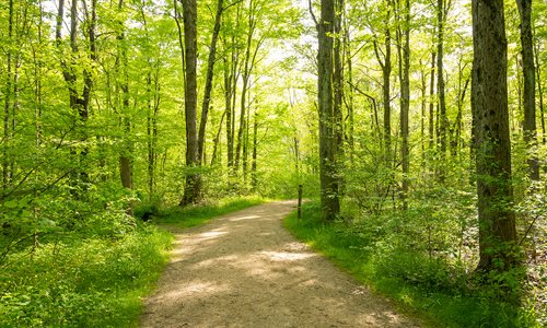
This rugged trail crosses ravines and streams and follows sections of the Buckeye and bridle trails. -
Hinckley Lake
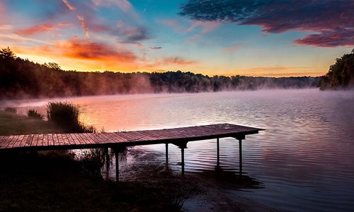
Hinckley Lake, located in Hinckley Reservation, is bounded by Bellus Road to the north, State Road to the south and is part of the Rocky River Watershed and sits between East and West drives. The lake... -

Hinckley Lake Trailhead
Hinckley Lake and The Spillway are currently closed for restoration. -
Hinckley Spillway Trailhead
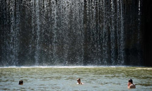
Hinckley Lake & The Spillway are currently closed for restoration. -
Iron Springs Picnic Area Trailhead
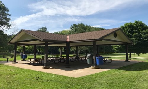
This trailhead allows access to the Iron Springs Trail, Wolf Creek Trail, and Redbud Trail. These trails lead you through the center of Garfield Park and around the waterways of Wolf Creek and Garfiel... -
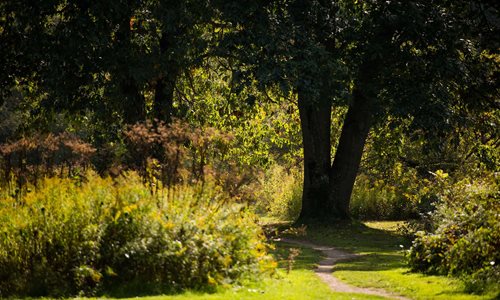
Jackson Field
An exceptional example of Chagrin River floodplain, Jackson Field is home to abundant plant and animal species that thrive in the rich, moist, field, wetlands, forest and the river, which is the backb... -
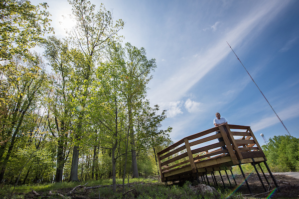
Keystone Loop
A small, dedicated parking lot provides easy access to Keystone Loop and a trail connection to Skyline Overlook Trail, which offers a stunning view of downtown Cleveland. The 0.7 mile Keystone Loop in... -
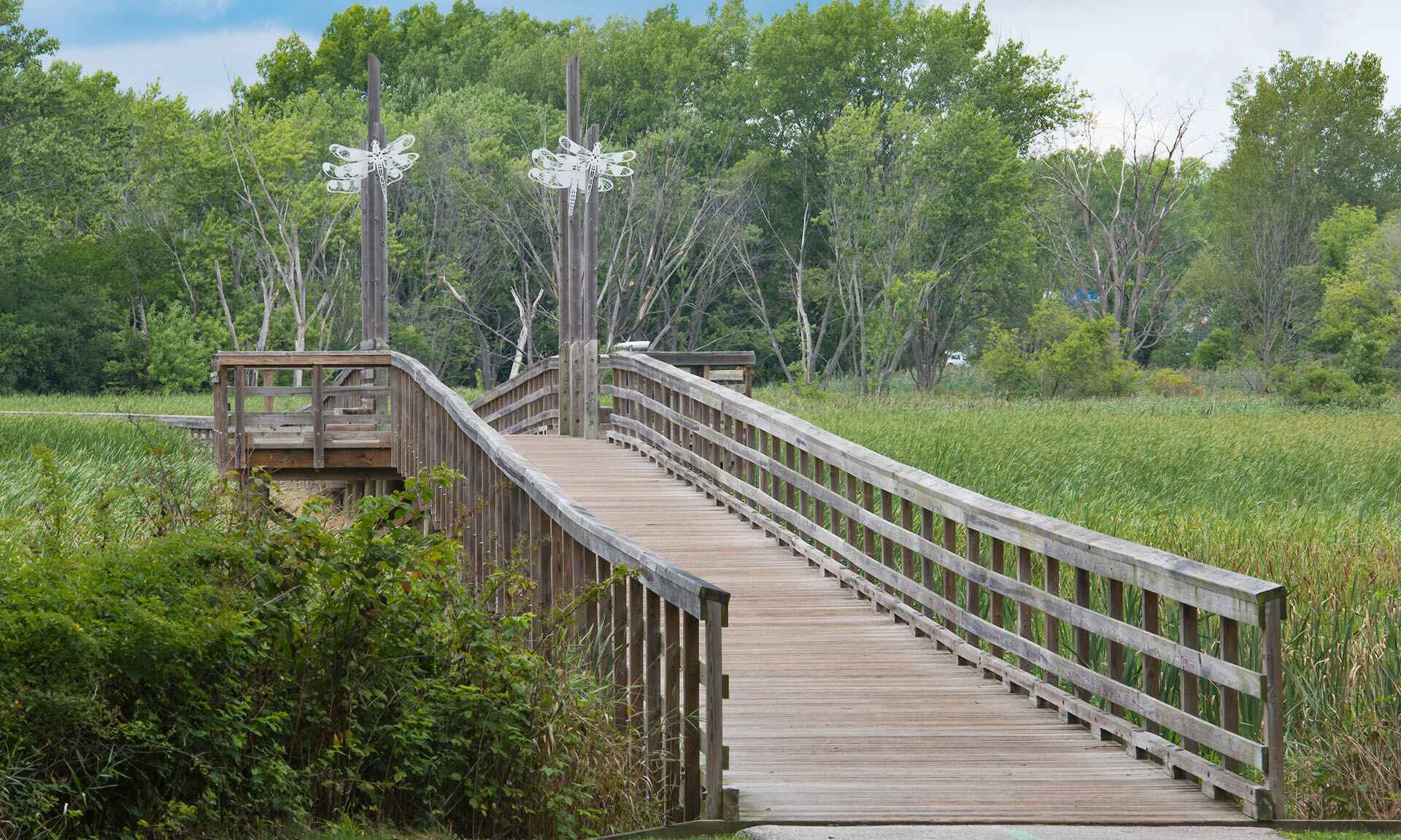
Lake Abram Marsh
Lake Abram is the largest remaining glacial wetland in Cuyahoga County. With its surrounding marsh and upland areas, Lake Abram makes up 80 acres of unique and critical wildlife habitat that is home t... -
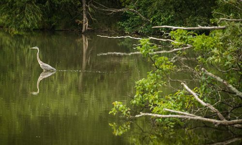
Lake Isaac
Classified as a glacial pothole created thousands of years ago, Lake Isaac Waterfowl Sanctuary serves as an important refuge for migrating waterfowl. The surrounding woodlands provide habitat for red... -
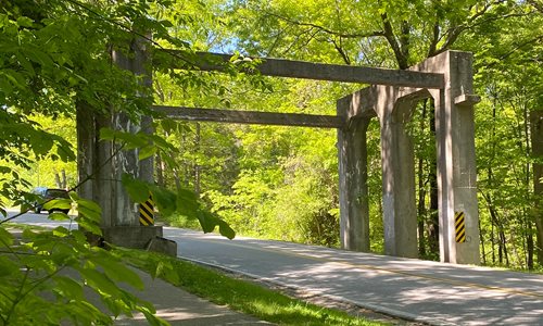
Lake Shore Electric Railway Trestle
Standing over Porter Creek Drive, this huge concrete structure is a mere remnant of the impressive inter-urban train system that ran from Cleveland, Lorain, Sandusky, Norwalk, Fremont, Toledo, to Detr... -
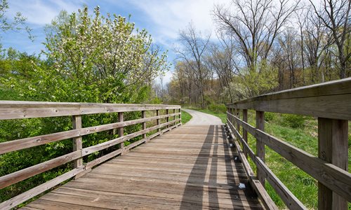
Lake-to-Lake Trailhead at Fowles Marsh
Access the All Purpose Trail with easy proximity to Fowles Marsh along the Lake to Lake Trail in Big Creek Reservation. -
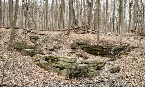
Lawrence Grist Mill
Built in 1832, the Lawrence Grist Mill provided flour and grist milling services to local residents. Evidence of the structure is still visible today. The Lawrence Grist Mill utilized the power from t... -
-
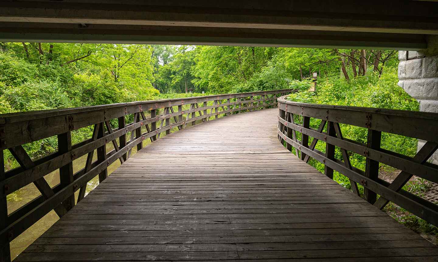
Lock 39 Trailhead
Access to Ohio and Erie Canal Towpath Trail -
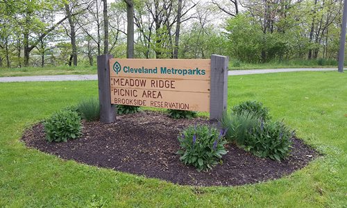
Meadow Ridge Picnic Area Trailhead
Access the All Purpose Trail at Brookside Reservation, with nearby picnic and play areas located off Fulton Parkway. -
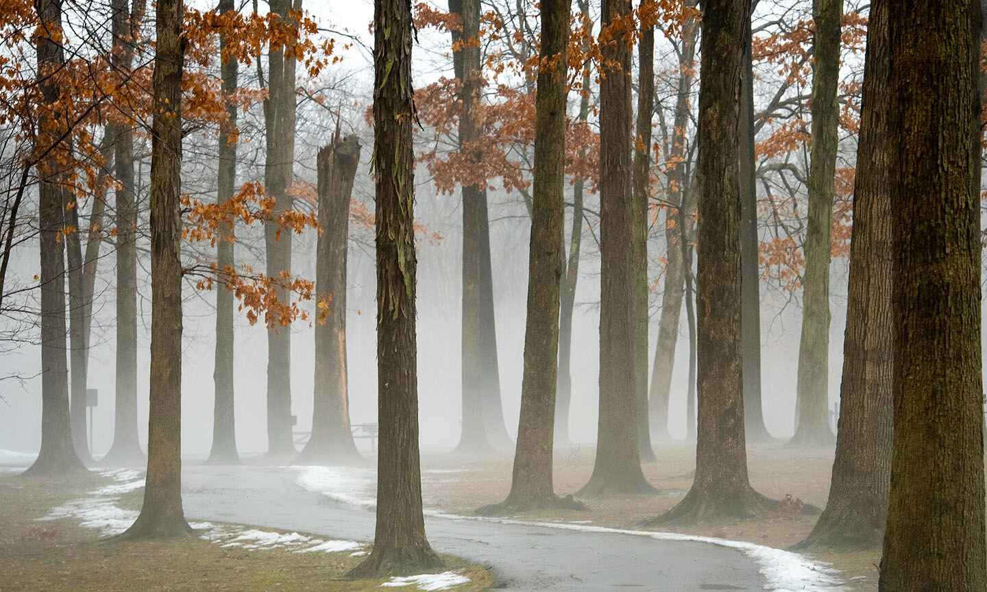
Meadows Picnic Area Trailhead
Enjoy a picnic lunch and access several different trails. -
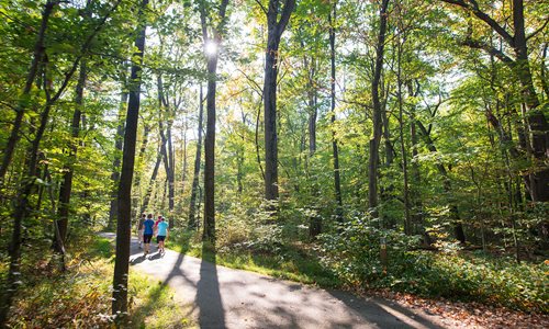
Meadows Trailhead
Meadows Trailhead provides easy access to a network of trails and a central parking area for equestrians and hikers. -
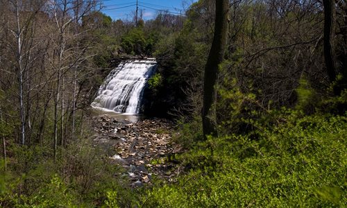
Mill Creek Falls Overlook
Mill Creek Falls, Cuyahoga County’s tallest waterfall, is located in Cleveland. Mill Creek Falls stands at 48 feet tall. The height and power of its flowing cascades helped Cleveland in becoming a pro... -
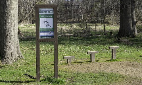
Mill Stream Run Physical Fitness Trail
The physical fitness trail consists of 18 exercise stations. Each station provides a different type of exercise. -
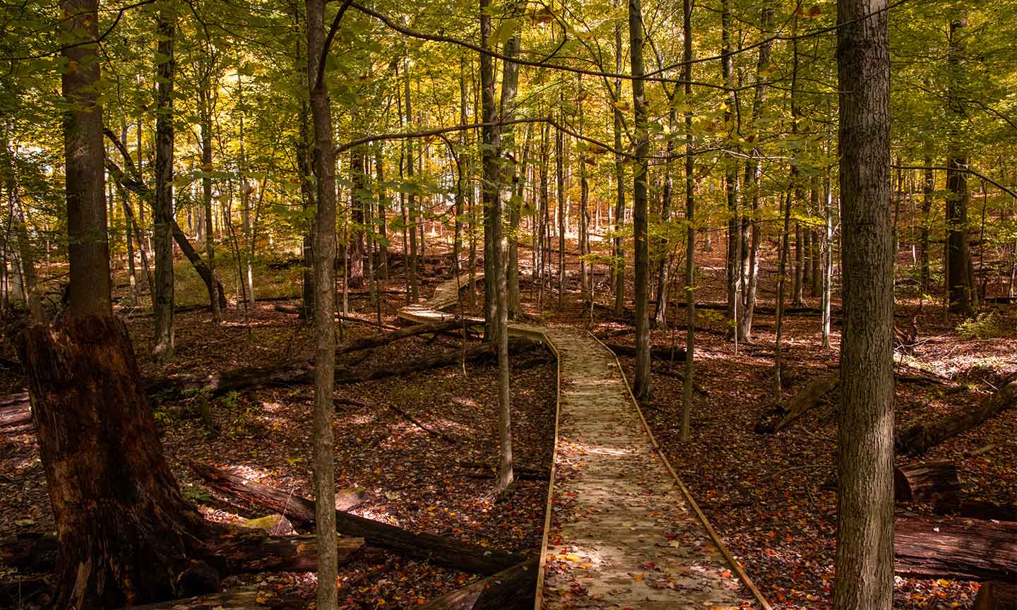
My Mountain Trailhead
My Mountain Trail is a new three tenths of a mile one-way, natural surface trail, off of the White Oak Trail, that features seven crossing structures, a 300-foot boardwalk, and a scenic overlook. This... -
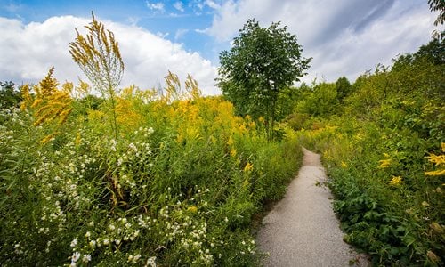
North Chagrin Nature Center Trailhead
Ample, easy access to parking, the nature center and flat, paved trails near by make this a great place to start your adventure in North Chagrin Reservation. -
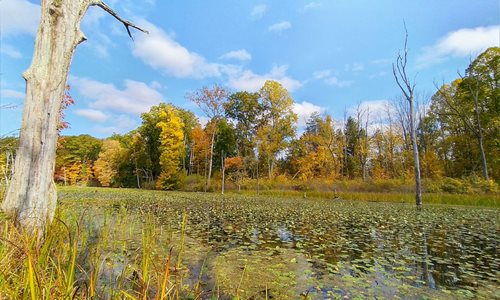
North Chagrin Oxbow Lagoon
Accessed just south of Squire's Castle off Chagrin River Road, Oxbow Lagoon is a separated wetland from the Chagrin River. The footprint of this biodiverse wetland marks a historic flow path of the ri... -
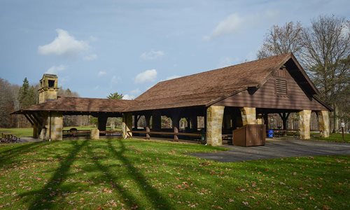
Oak Grove Picnic Area Trailhead
Trail access from the reservable shelter that includes a fireplace, picnic tables, grills and swings. -
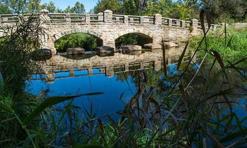
Old Boating Pond Bridge
The signature piece of Garfield Park Reservation days gone by. The current stone structure replaced a wooden bridge back in the 1930s when the Works Progress Administration (WPA) workers built this br... -
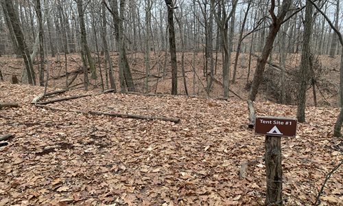
Ottawa Overlook Backcountry Site 1
Site 1 is nestled inside of the backcountry site’s camp triangle most proximal to the kitchen area and food storage areas. The 12’ x 17’ designated tent area is a defined natural surface area that can... -
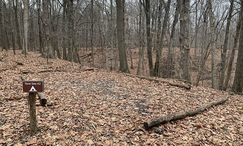
Ottawa Overlook Backcountry Site 2
Site 2 overlooks the ridge allowing you to wake up to gorgeous views outside of your vestibule. The slightly larger 16’ x 22’ designated tent area is a defined natural surface area that can accommodat... -
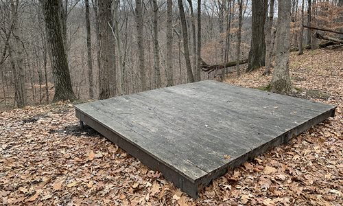
Ottawa Overlook Backcountry Site 3
Site 3 features a wooden tent platform that can accommodate one 4-person tent or two small 2-person tents. The 10’ x 12’ designated tent area sits in solitude, and is the furthest from sites 1 and 2,... -
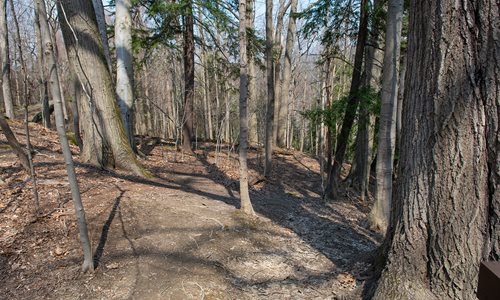
Overlook Lane Trailhead
Explore the one direction Bedford Singletrack trail with 10 distinct sections and connections to the All Purpose Trail. -
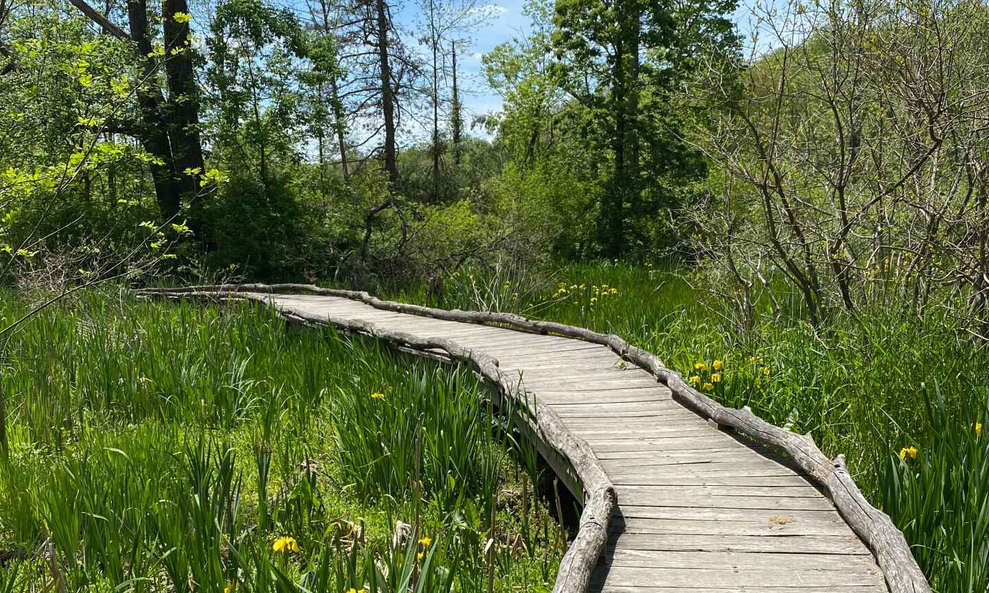
Oxbow Lane Trailhead
With parking suitable for horse trailers, this is a great location to pick up the NC4 and NC2 Bridle Trails along with the Buckeye Trail. -
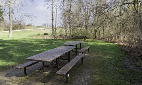
Pawpaw Picnic Area Trailhead
Provides access to All-Purpose trail. -
.jpg)
Perkins Beach
A location where there are more shells than sand on the beach. A quiet beach with a natural surrounding with drift wood and beach glass along the shore of Lake Erie. -
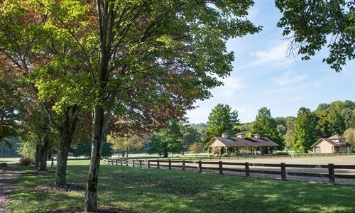
Polo Field
Located at the corner of Chagrin River Road and South Woodland Road, (Rt. 87) the Polo Field hosts a variety of horse and dog shows and other events during summer months. The Hunter Jumper Classic is... -
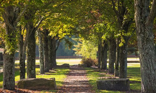
Polo Field Trailhead
This Trail head is at the Northern most point of the South Chagrin Reservation located at the Polo Field. Horse trailer parking is available at this location for access to the Bridle Trail. -

Quarry Rock
Quarry Rock Picnic Area is located off Solon Rd., west of Chagrin River Rd. An overlook deck affords a picturesque view of the Aurora Branch of the Chagrin River complete with water cascades. Large ic... -
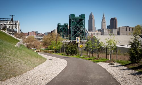
Red Line Greenway
The Red Line Greenway is a nearly two-mile paved all purpose trail that links the Cleveland Foundation Centennial Lake Link Trail to two RTA Red Line Rapid Transit stations, and provides a primary act... -
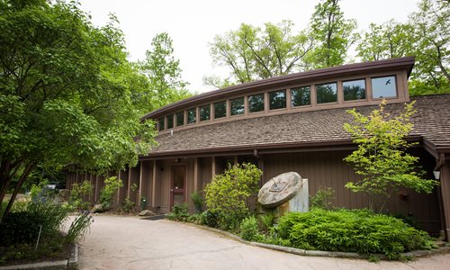
-
-
.jpg)
Rogers Meadow
During the warmer months, Rogers Meadow is teeming with wildflowers and insects. In the spring, marvel at the beautiful spring wildflowers. In the summer and fall, enjoy the diversity of insect life,... -
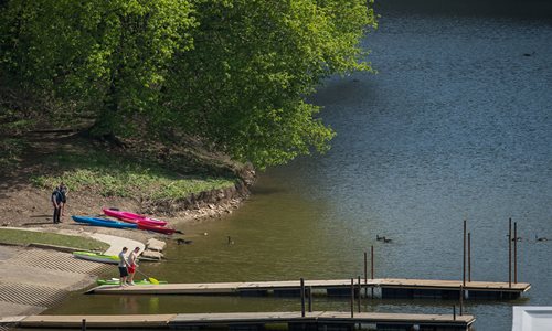
Scenic Park Trailhead
Located in a well populated area, this nearly level trail includes a shaded section along the river. The trail length is 0.7 mile. -
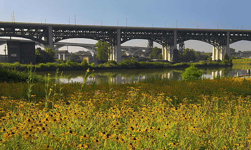
Scranton Flats Pier
Located under the Hope Memorial Bridge this river observation deck allows for close-up views of the Cleveland skyline. Watch huge cargo ships navigate the bends in the Cuyahoga River. It is a hot spot... -
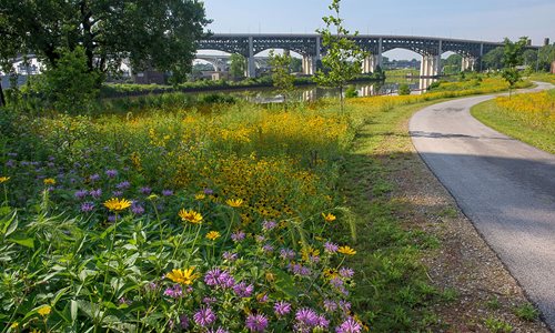
Scranton Road Peninsula
Running from University Rd. to Carter Rd. this area features public fishing access, a river observation deck and fish habitat breeding areas. -
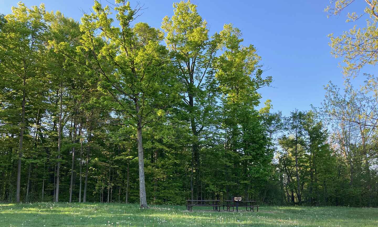
Shadow Lake Picnic Area
Located between both Solon and Richmond Roads, Shadow Lake Picnic Area features a 4 acre lake for fishing, picnic tables and grills for a quick lunch or picnic, and a restroom facility. -
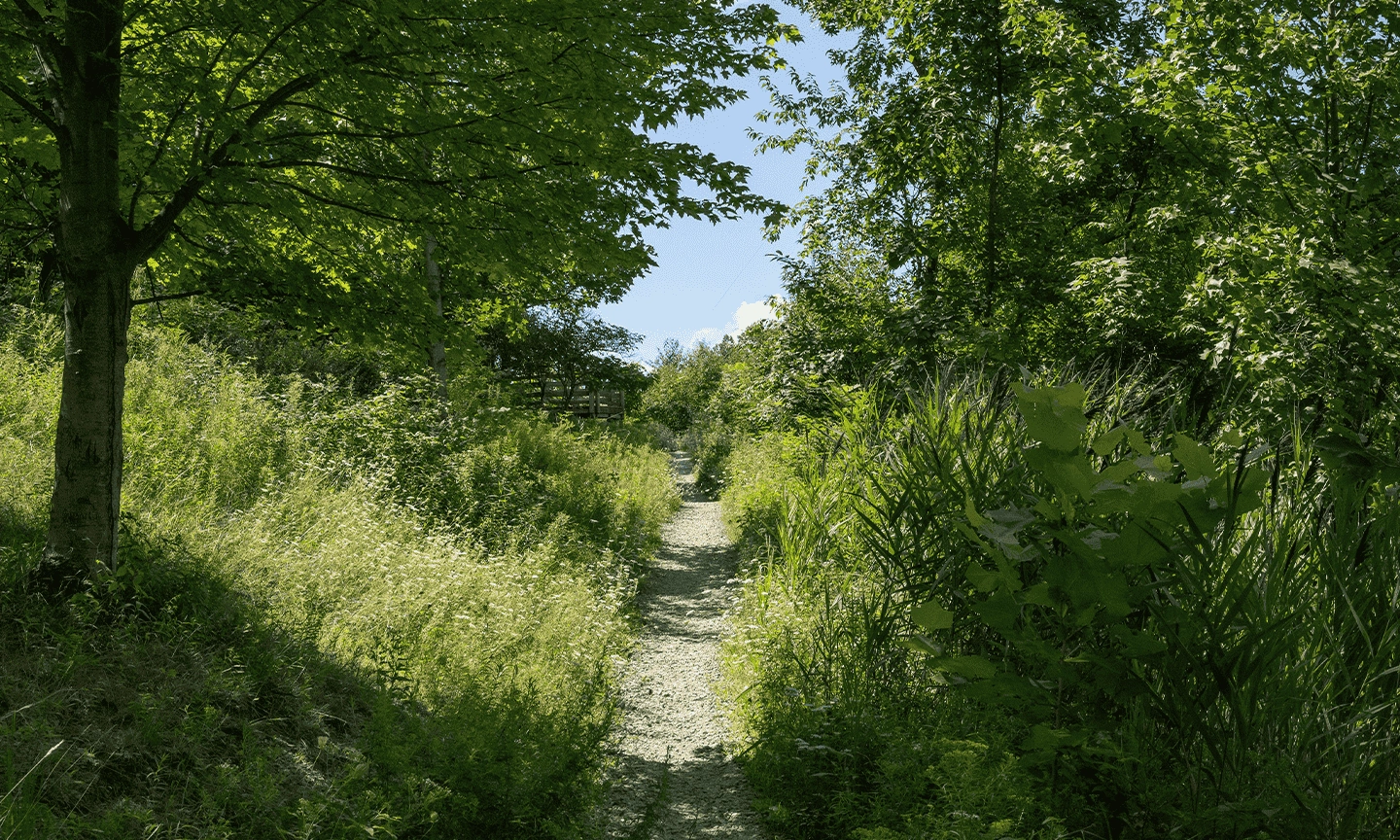
Skinners Run Trailhead at Dentzler Road
This site has limited street parking. The trailhead offers a steep gravel-stone approach into the forested floodplains of West Creek. The trailhead connects park users to additional natural surface hi... -
Skyline Overlook Trailhead
Skyline Overlook provides a quick urban hike with views of downtown Cleveland. -
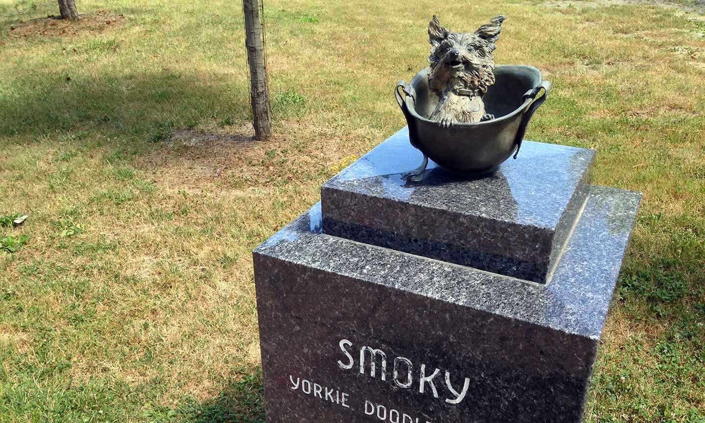
Smoky Memorial
Smoky Memorial celebrates Smoky, a Yorkshire Terrier that aided troops during WWII and later became the world’s first therapy dog on record. -
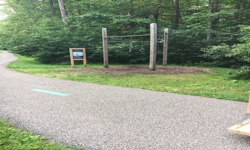
South Chagrin Physical Fitness Trail
Starting from the Shelterhouse Picnic Area parking lot, this out-and-back 1 mile segment of the All Purpose Trail features 18 outdoor physical fitness stations. -

South Mastick Picnic Area Trailhead
A level winding trail provides views of various large trees and the Rocky River. The trail length is 0.4 mile. -
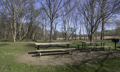
South Quarry Picnic Area Trailhead
Provides access to Fitness, All-Purpose and hiking trails. -
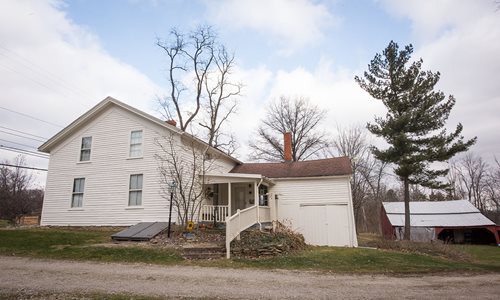
Squire Rich Museum
Squire Rich Museum is operated by the Brecksville Historical Society and is open Sunday afternoons from 1 – 4 p.m. June through October. Additional details available from Brecksville Historical Associ... -
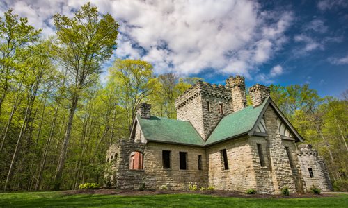
Squire's Castle
This beautiful old gatehouse from the 1890s is modeled after German and English baronial castles and is a unique feature of North Chagrin that is a popular destination for people of all ages. Squire’s... -

-
Stinchcomb-Groth Memorial
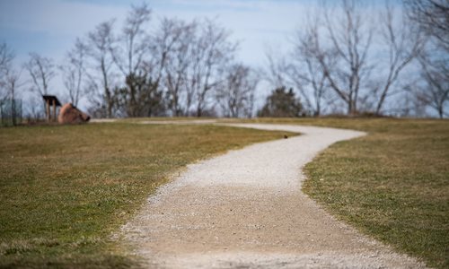
Stinchcomb-Groth Memorial, a 30-foot tower made of cinder block and sandstone, was dedicated in 1958 to the first two directors of Cleveland Metroparks, William Stinchcomb and Harold Groth. Together,... -
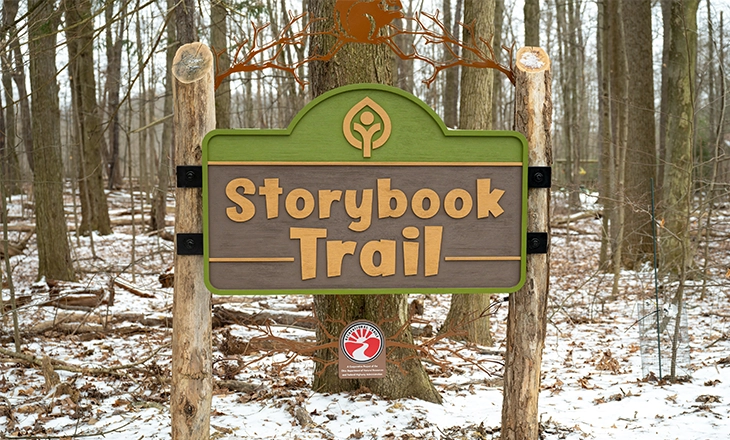
Storybook Trail
Travel the new Storybook near Rocky River Nature Center where you can read “Over the Forest” by Marianne Berkes along this short, wooded trail and count all the animals that live there. The Storybook... -
Strawberry Lane Trailhead
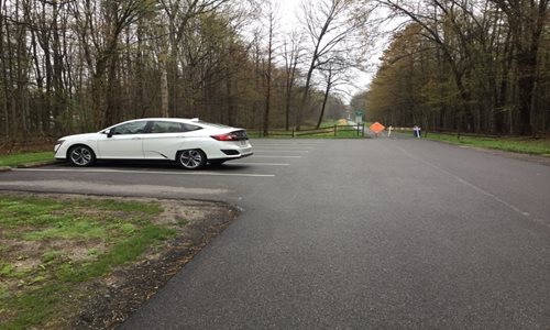
Direct parking access off of SOM Center Road allows you to walk in to the northern portion of North Chagrin Reservation towards Strawberry Pond. -
Strawberry Pond
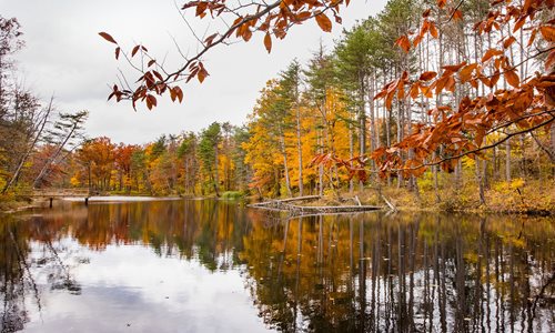
This wildlife pond has been a favorite of visitors for many decades. This historic pond was a popular ice skating and fishing site for many generations. Today the pond has been deepened and enlarged w... -
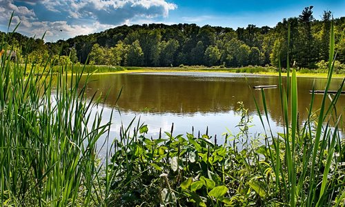
Strongsville Wildlife Area
Strongsville Wildlife Area has wetlands, meadows and woods that make it a great place to watch for birds and other wildlife. Strongsville Wildlife Area is located off Valley Parkway in Mill Stream Run... -
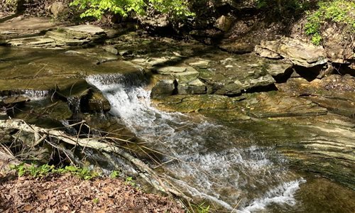
Sulphur Springs
Enjoy a hike around the Sulphur Springs Loop or relax under the trees while listening to the babbling sounds of Sulphur Springs and views of small waterfalls. -
.png)
Tallgrass Prairie
The tallgrass prairie is a unique ecosystem with incredible plant and animal diversity. The variety of milkweed species makes the tallgrass prairie a perfect nursery for the monarch butterfly. Through... -
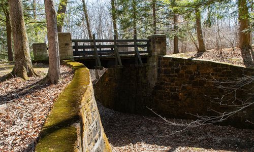
The Shelterhouse Trailhead
This trailhead is located near the parking lot entrance to The Shelterhouse Picnic Area. -
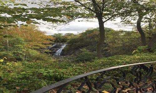
The Yard at Mill Creek Falls
Parking is provided during the non-winter months. The small overlook at The Yard offers an amazing view of Mill Creek Falls. You can also discover that the current location of the Falls is not the ori... -

Towpath Trail at W.13 Place and Abbey Rd
Access to Ohio and Erie Canal Towpath Trail with views of the Cleveland skyline. -
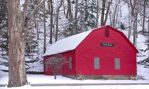
Tyler Barn
Born in 1835, Washington S. Tyler was one of Cleveland's most successful businessmen and founder of the Tyler Company, a pioneer in the introduction of wire specialties. Tyler Barn was part of the fam... -
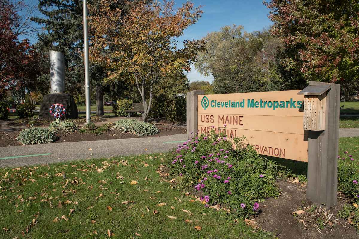
USS Maine & American Legion Memorial
Reflect on the history and contributions of armed forces personnel and view a USS Maine battleship relic. Located at the entrance to Washington Reservation, these memorials serve as a reminder of our... -
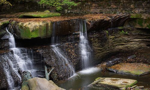
Viaduct Park
Bedford's history began here as the power of the Great Falls of Tinker's Creek was harnessed between 1821-1913 for a saw mill, grist mill and electric power plant. Families such as the Benedict's, Wil... -
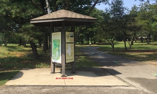
Washington Reservation Trailhead
Enjoy a stroll around Washington Reservation or relax at the picnic shelter with family in this neighborhood friendly park. -
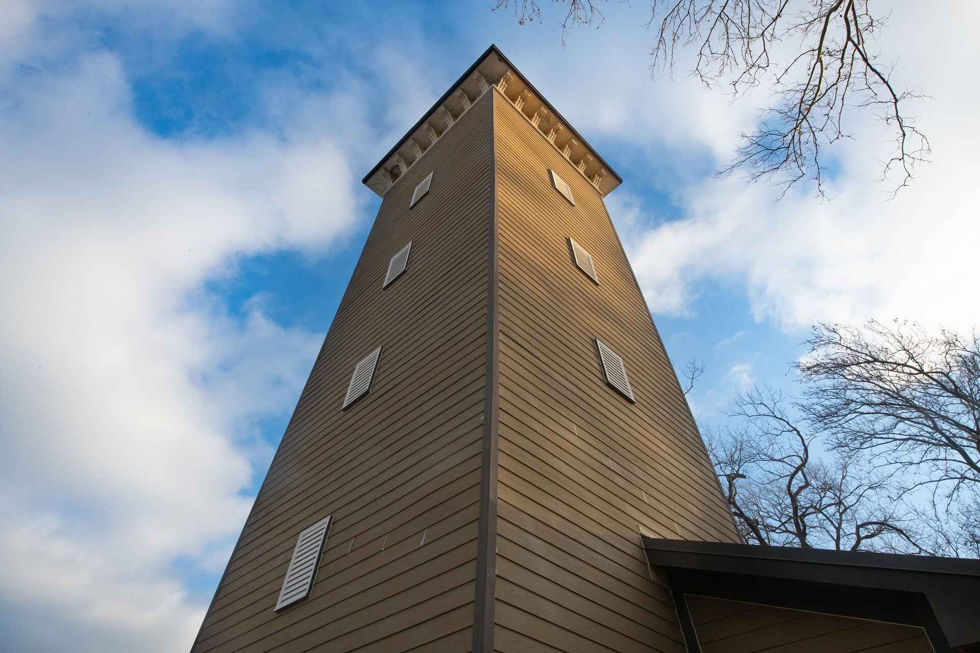
Water Tower
Though it looks like a lighthouse, this tower was actually a water-pumping structure that served to irrigate the vineyards of John Huntington's 100 acre estate. A brick pump-house is located below the... -
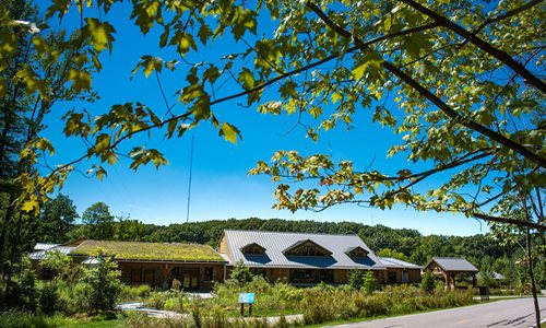
Watershed Stewardship Center Trailhead
Access the All Purpose Trail near the entrance of the Watershed Stewardship Center in Parma. Enjoy the native gardens and stormwater management features onsite. -
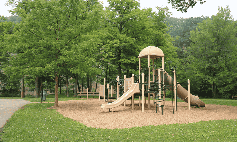
Welsh Woods Picnic Area Trailhead
Ample parking, a playground and scenic views of Euclid Creek make this a great destination for a picnic, or to pick up a hike on the Eastern Ledge, Squirrel Run or All Purpose Trails. -
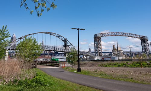
Wendy Park Bridge
The 500-foot-long Wendy Park bridge extends over the Norfolk-Southern railroad tracks and provides a new link between downtown Cleveland and Cleveland Metroparks lakefront parks. The bridge features a... -
West Drive Lot
Located on West Drive, this lot allows easy access to the Buckeye and All Purpose trails. -
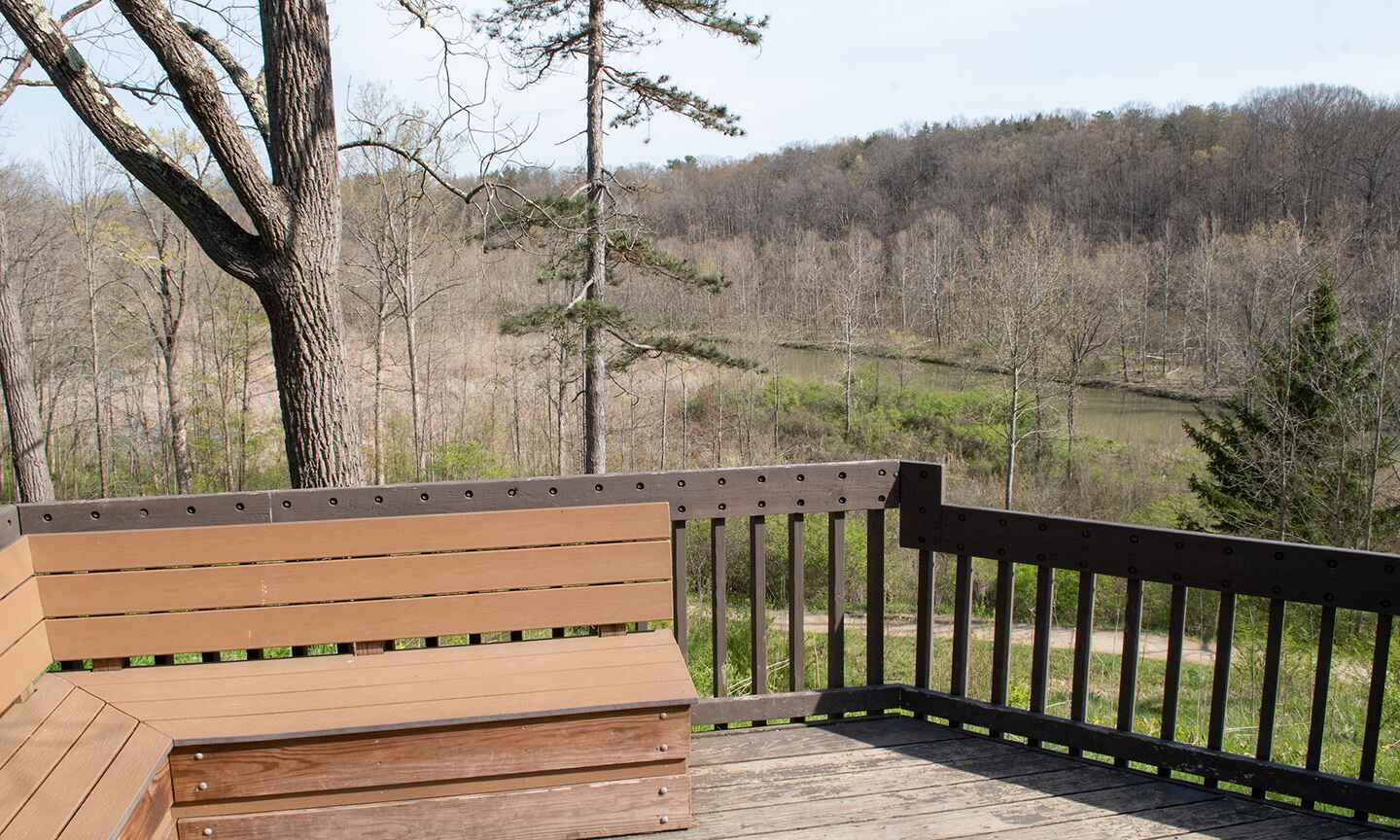
West Drive Scenic Overlook
This scenic overlook provides a nice view of the East branch of the Rocky River as it flows into Hinckley Lake. -
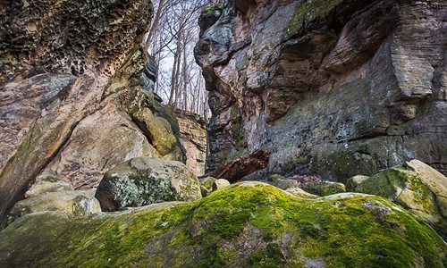
Whipp's Ledges
Hinckley Reservation is one of the few places in northeast Ohio with exposed sandstone ledges of Sharon Conglomerate. The geology not only provides unique recreational rock climbing opportunities, but... -
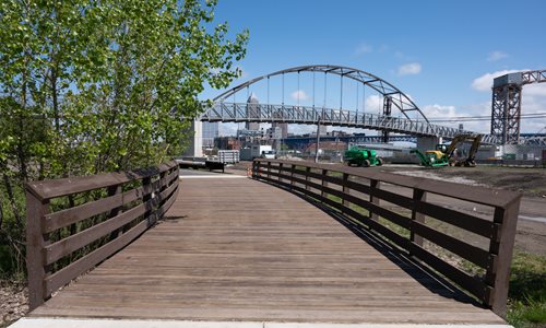
Whiskey Island Trail
Whiskey Island Trail completes a missing link between Edgewater Park to Wendy Park on Whiskey Island with 1.2 miles of all purpose trail. The trail provides a safe, off-road connection with great view... -
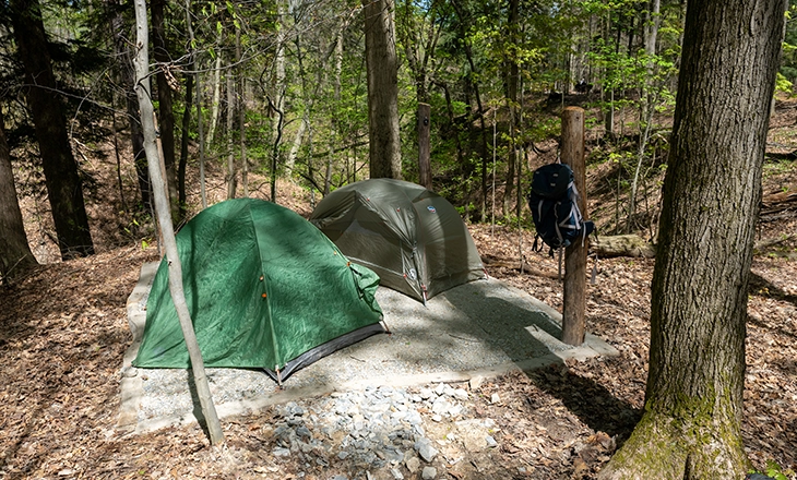
Williams Woods Backcountry Site 1
Site 1 is nestled inside of the backcountry site’s camp triangle most proximal to the kitchen area and food storage area. It is slightly smaller than the other two sites with a 12’ x 12’ designated cr... -
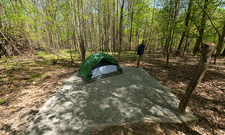
Williams Woods Backcountry Site 2
Site 2 is located between site 1 and 3. The 12’ x 15’ designated tent area is a defined crushed limestone area that can accommodate one 4-person tent, two small 2-person backcountry tents or 3 hammock... -
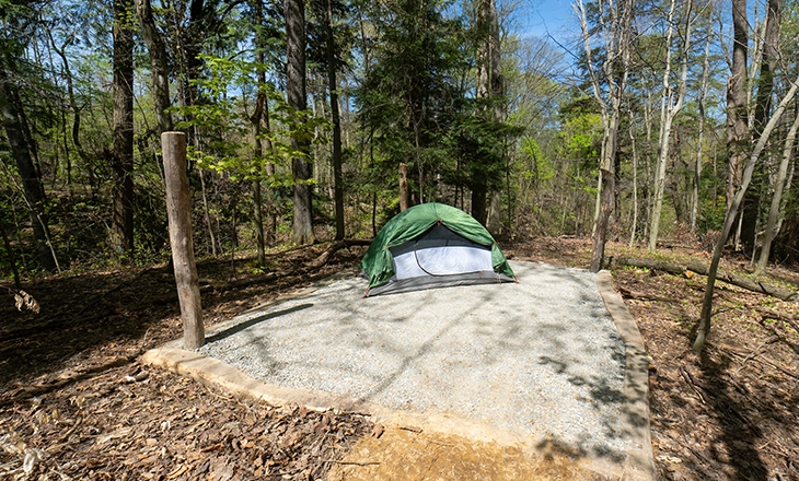
Williams Woods Backcountry Site 3
Site 3 is the most remote backcountry site; thus, the farthest away from the kitchen area and food storage area. The 12’ x 15’ designated tent area is a defined crushed limestone area that can accommo... -
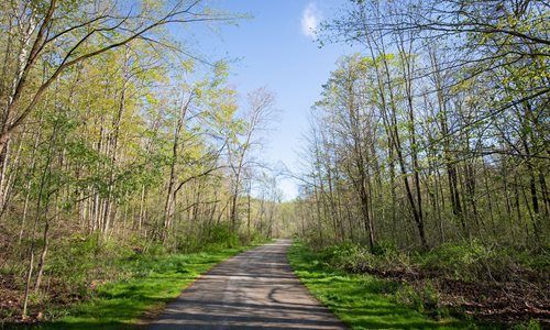
Wilson Mills Trailhead
This beautiful trail is a combination of an old roadway and a newer “all-purpose trail” that connects Forest Picnic Area and Wilson Mills Road Trailhead parking. This delightful trail offers the outdo... -
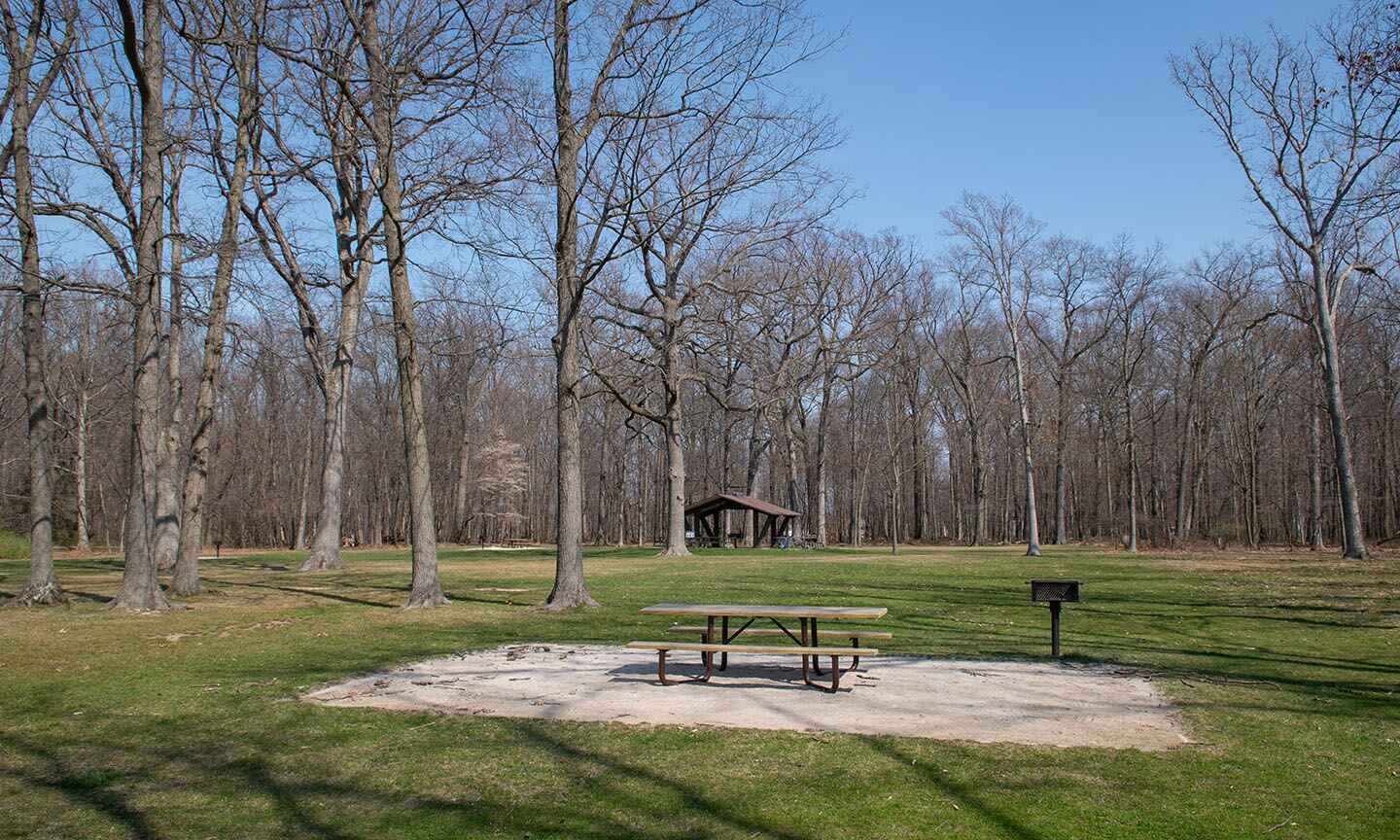
Wolf Picnic Area
Wolf Picnic Area is located off Porter Creek Drive in Huntington Reservation, off Wolf Road in Bay Village. -
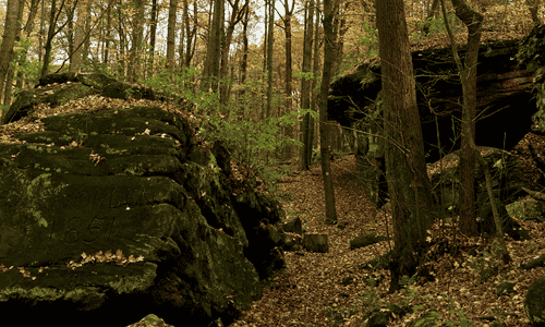
Worden's Ledges
The carvings at Worden's Ledges are a unique treasure which adds to the beauty, diversity, and cultural history of Hinckley Reservation. -
